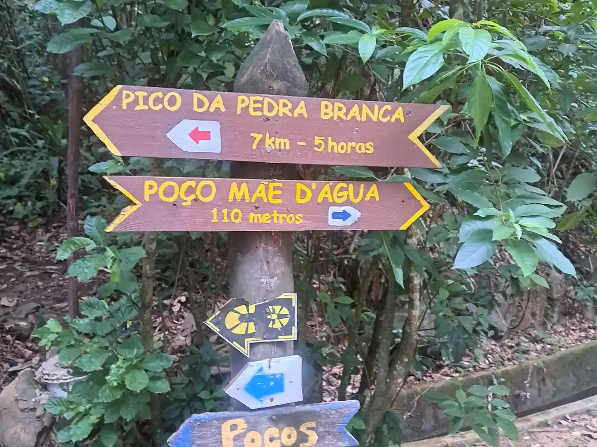
Pico da Pedra Branca
Description
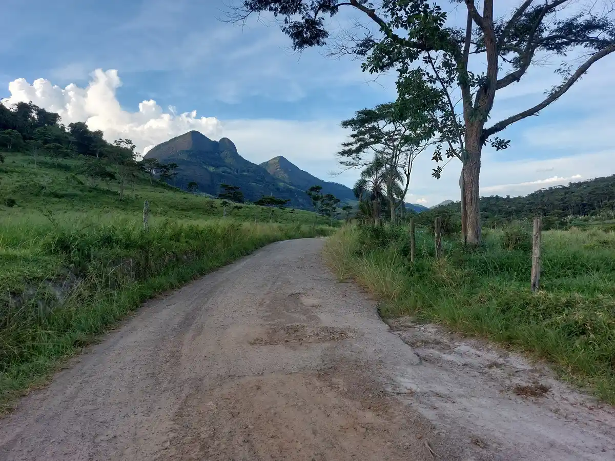
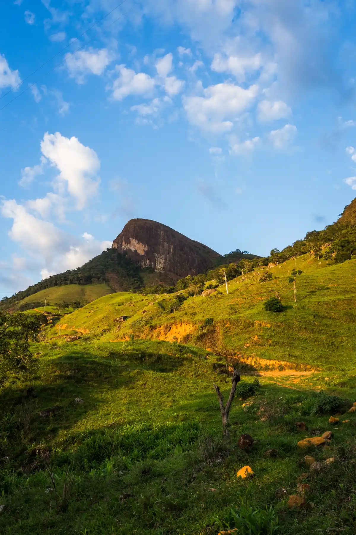
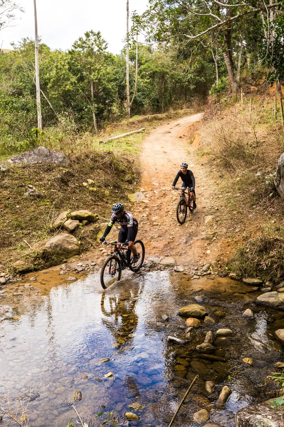
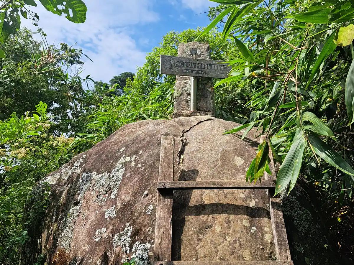
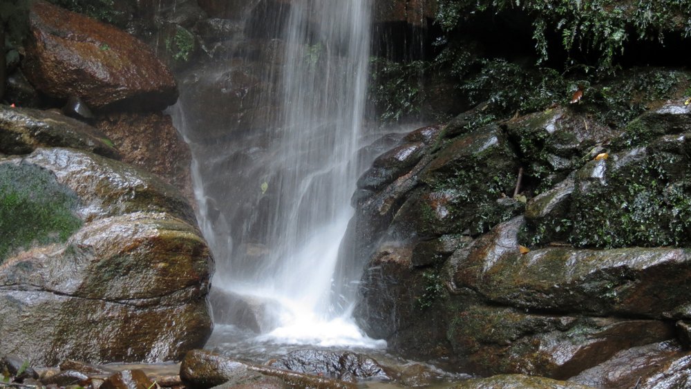
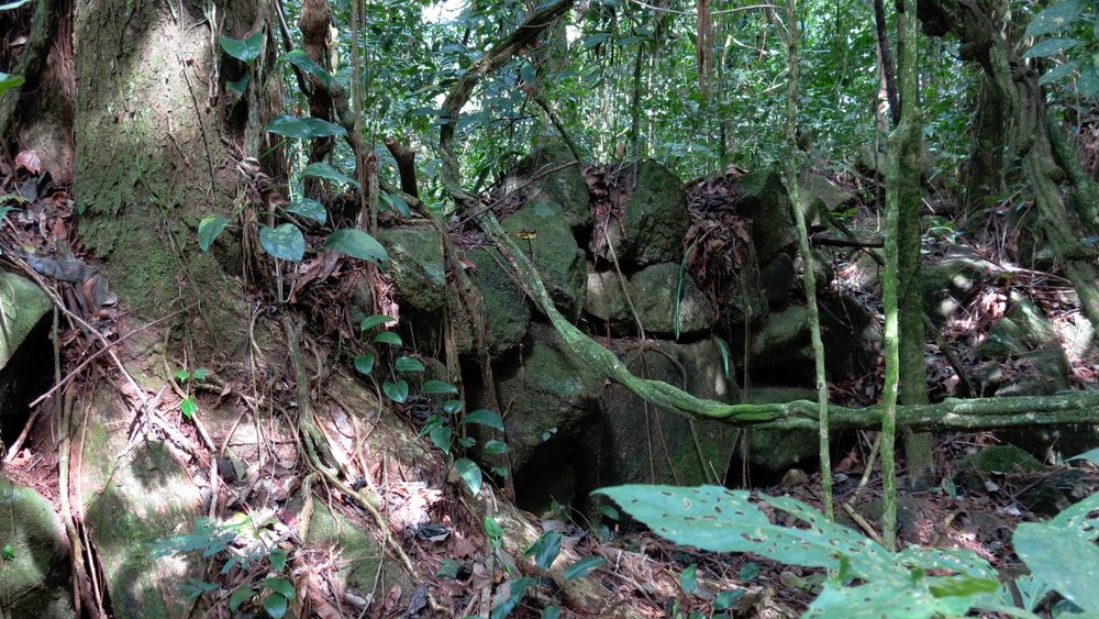
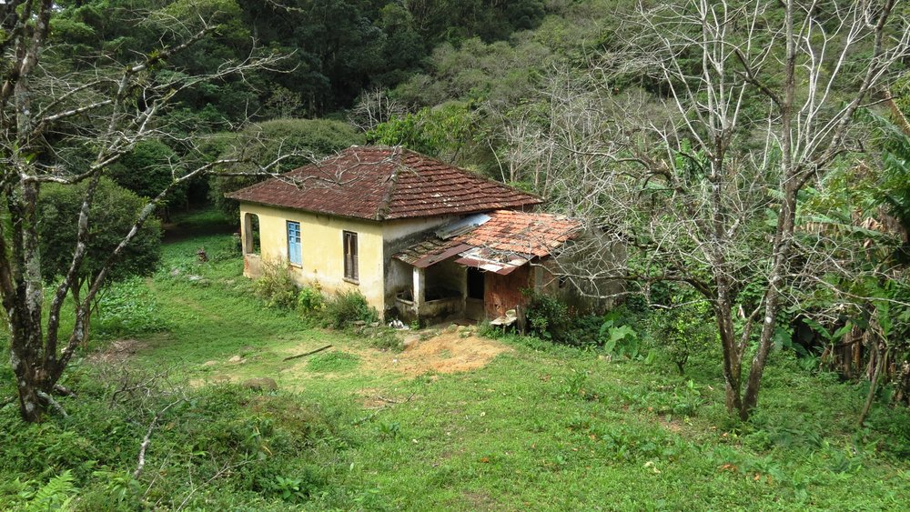
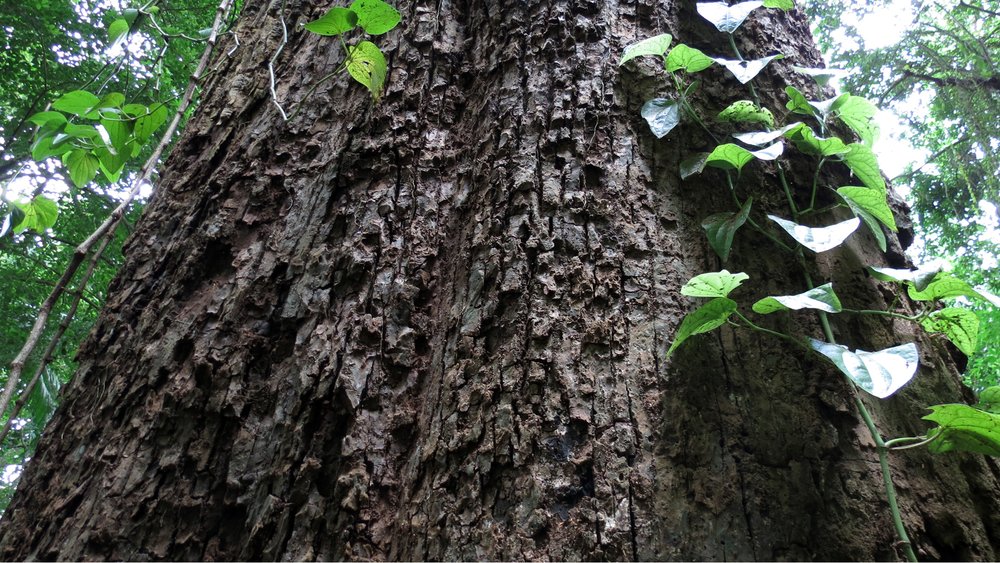
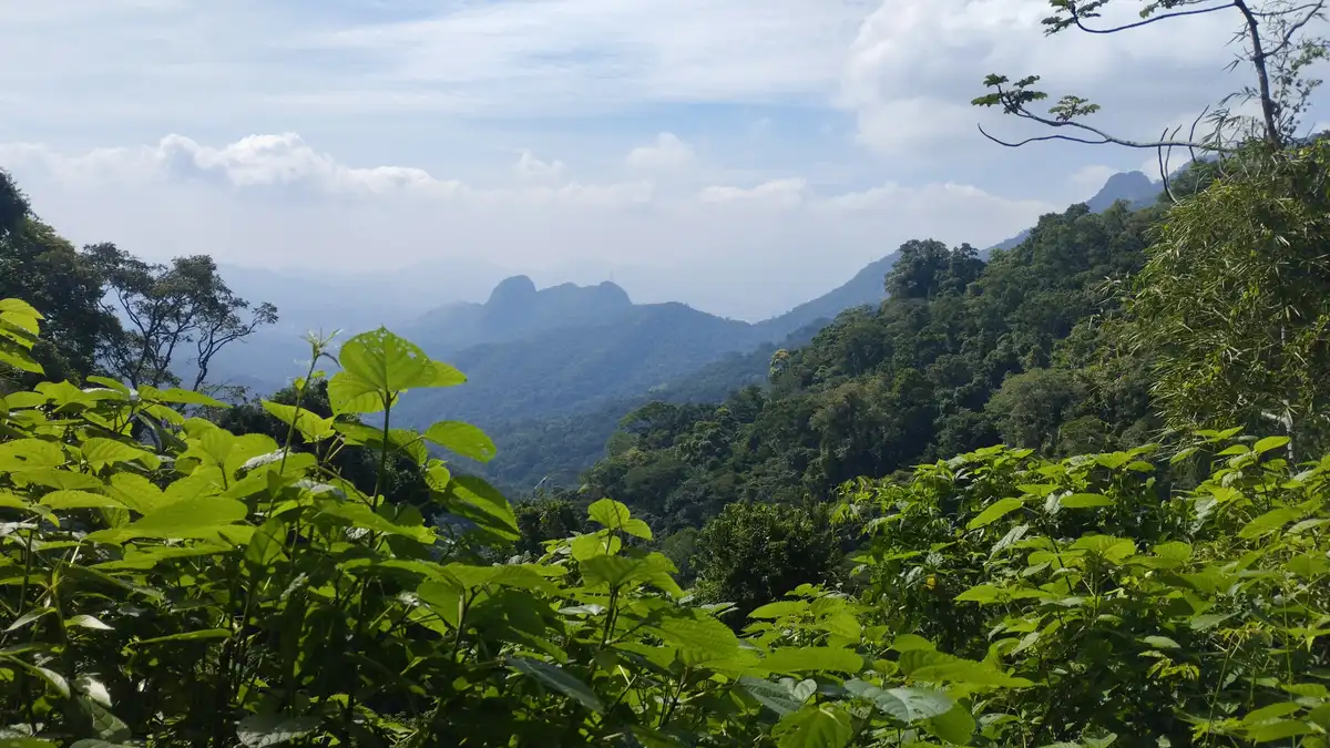
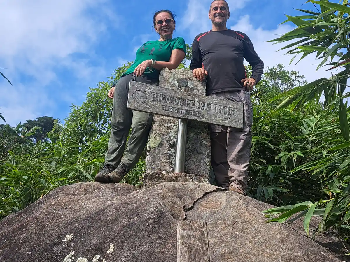
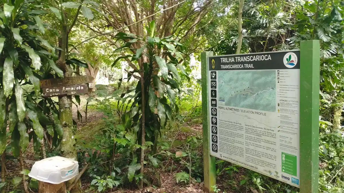
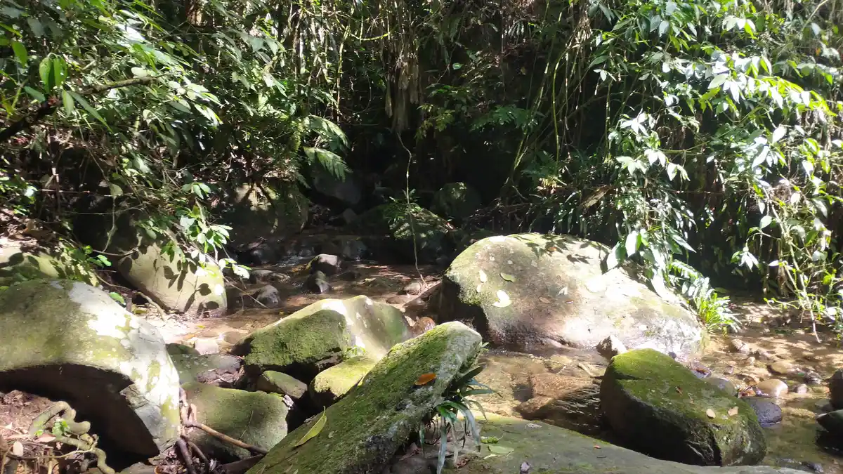
Despite being the highest point in Rio, at an elevation of 1024 m, Pico da Pedra Branca is not famous for its view. The formation - which is only taller than Pico da Tijuca due to a 3-meter-high rock at its summit - is surrounded by dense vegetation, making visibility difficult. However, from the top of the rock, it is possible to see parts of the neighborhoods of Campo Grande, the Gericinó-Mendanha Massif, Baixada Fluminense, Vargem Grande, Recreio, and Restinga da Marambaia. Along the trail, one walks through stretches of pure Atlantic Forest, natural viewpoints, crystal-clear rivers, and waterfalls. The peak is located in one of the largest environmental preservation areas in an urban perimeter in the world, the Pedra Branca State Park, which spans 12,500 hectares and has 12 springs that supply the city. One point of interest along the trail is the Casa Amarela, built in the 1920s. This simple colonial-style house is a testament to how small farmers in Jacarepaguá lived. With the establishment of the park, only the buildings below 100 m in altitude were preserved in the area, and the paths for transporting goods became the trails currently used in the park.
Activities

Guidelines
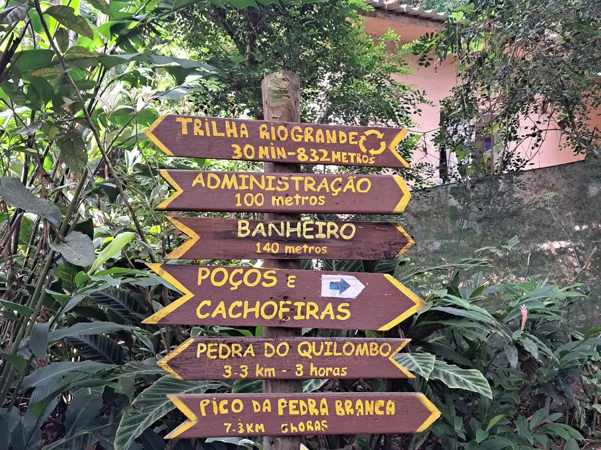
 Extension: 7.3 Km
 Difficulty Moderate
 Orientation Moderate
 Signaling Level Complete
 Conservation Excellent
 Risk Exposure Low
 Sun Exposure Low
 Hydration Point Available
 Climbing No climbing required
 Minimum Altitude: 106m Maximum Altitude: 1025m
 Negative Unevenness: 650m
 Positive Unevenness: 900m
Video
Attractions that the trail offers
 Waterfall
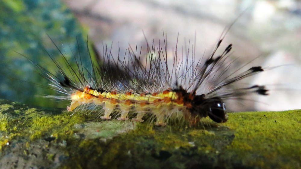
 Fauna
 Viewpoints
 Ruins
The trail is located in the following protected area

Tips
It is not a long trail, but it can be tiring because of the ups and downs, especially on the section that leads directly to the Pico. Bring a swimsuit to enjoy the waterfalls along the way, such as the Cachoeira do Campo, close to the Pau da Fome headquarters of the Parque Estadual da Pedra Branca.
Map
Guidelines
Extension: 7.3 KmDifficulty: ModerateOrientation: ModerateSignaling Level: CompleteMinimum Altitude: 106m Maximum Altitude: 1025m Negative Unevenness: 650m Positive Unevenness: 900m