Açude Camorim
Description
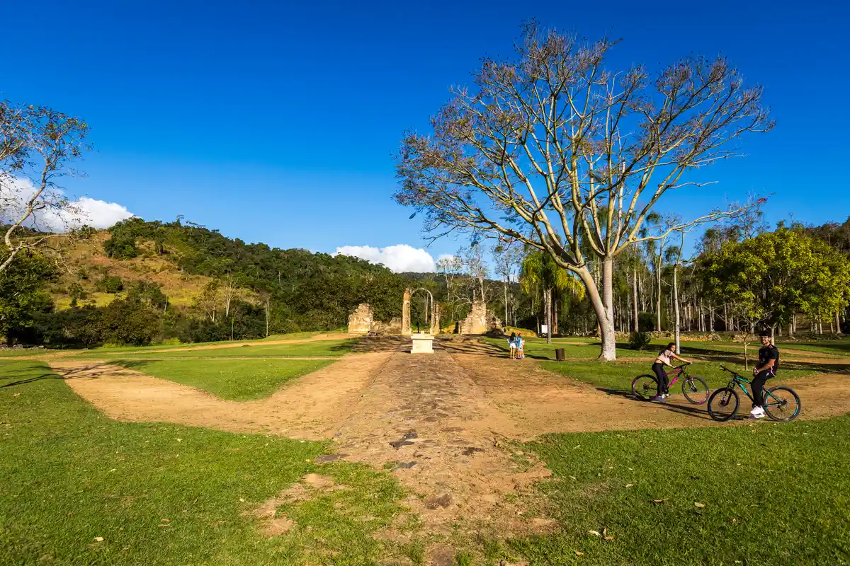
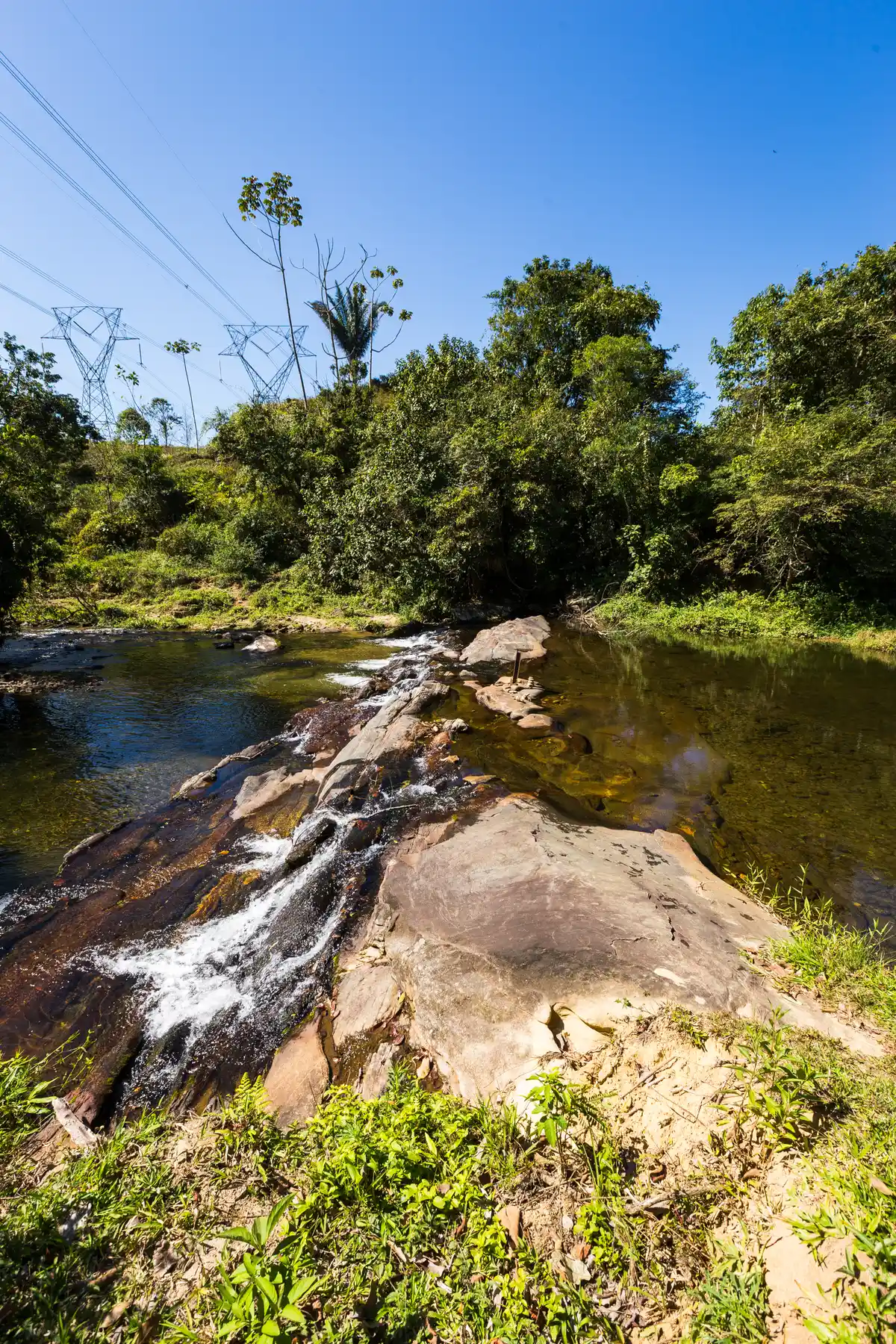
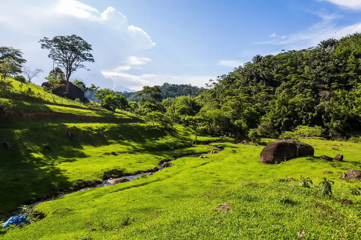
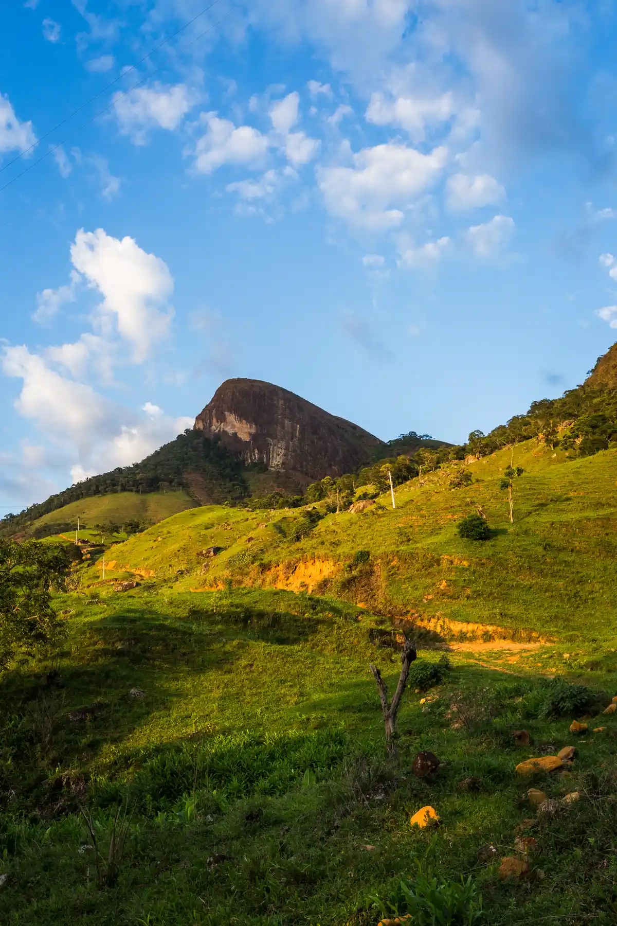
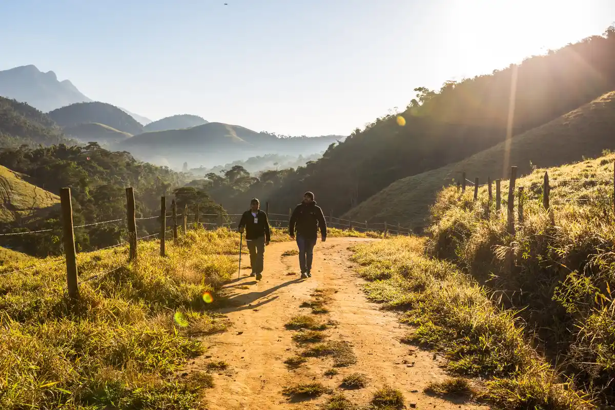
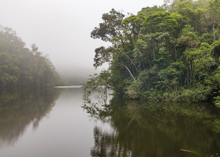
The trail of Camorim Dam holds surprises for hikers who venture along its path, starting with the dam that gives the trail its name, built in 1908 and with an impressive depth of 18 meters and a volume of 210,000 cubic meters. Swimming in these waters is not allowed, as the dam supplies the western zone of the region. Save your desire to cool off for the waterfalls of Camorim and Véu da Noiva. Attention: bring insect repellent. "Camorim" derives its name from the Tupi word "CAMURY": CA (Forest) and MURY (fly or mosquitoes), meaning "forest with many mosquitoes." The excursion takes place within the Pedra Branca State Park, the largest urban natural park in the world, covering 12,500 hectares - for comparison, this is nearly three times the size of Tijuca National Park. The path, extending 3 km, preserves the remaining vegetation of the Atlantic Forest, featuring Jequitibás that are over 300 years old. The fauna is another attraction, with the possibility of spotting capuchin monkeys and sloths.
Activities

Guidelines
 Extension: 3.25 Km
 Difficulty Moderate
 Orientation Moderate
 Signaling Level Complete
 Conservation Excellent
 Risk Exposure Low
 Sun Exposure Low
 Hydration Point Available
 Climbing No climbing required
 Minimum Altitude: 26m Maximum Altitude: 436m
 Negative Unevenness: 17m
 Positive Unevenness: 409m
Video
Attractions that the trail offers
 Fauna
 Lake
The trail is located in the following protected area


Warnings


Map
Guidelines
Extension: 3.25 KmDifficulty: ModerateOrientation: ModerateSignaling Level: CompleteMinimum Altitude: 26m Maximum Altitude: 436m Negative Unevenness: 17m Positive Unevenness: 409m