Trilha Pico do Soares
Description
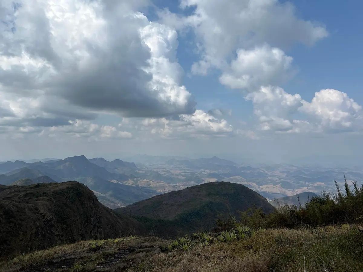
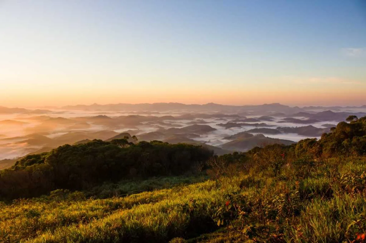
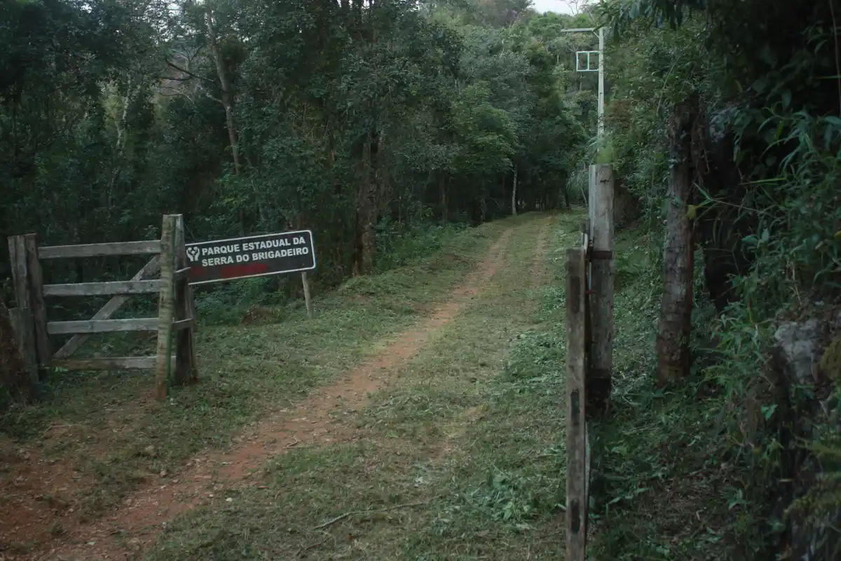
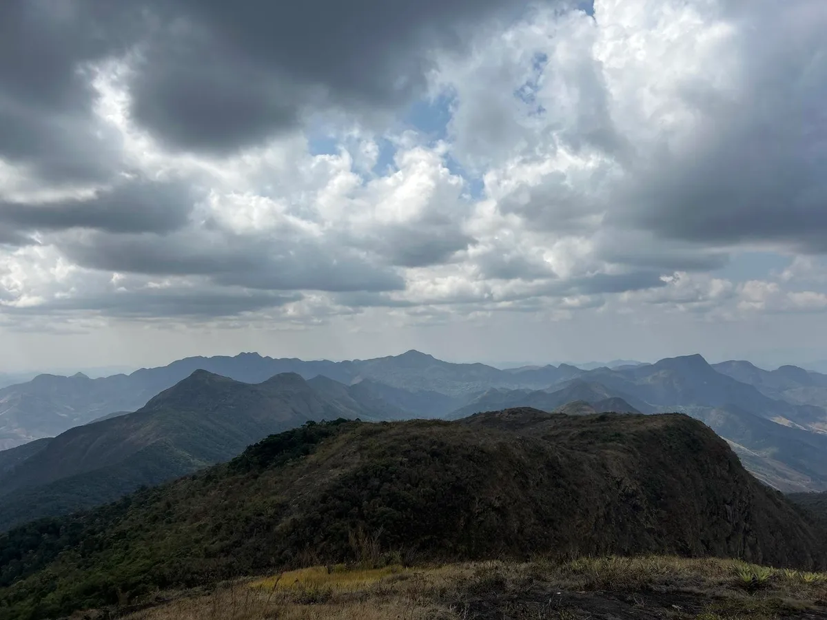
Pico do Soares is located in the Parque Estadual da Serra do Brigadeiro, in Minas Gerais, and is a natural treasure in the Zona da Mata Mineira. The peak is an imposing granite rock formation 1,985 meters above sea level, the highest point in the protected area managed by the State Forestry Institute (IEF). At the summit, the vegetation is low-growing and medium-sized, and fog often wraps the top, creating a truly impressive view for much of the year. Near Pico do Soares there is another spot that offers an incredible view of the surrounding nature. Although it is lower, this spot has natural pools formed by hollows in the rock, shaped by the action of water over time. The pools are at about 1,550 meters above sea level, offer an invigorating swim, and provide a stunning view of the region. Some pools are bigger, others deeper, and the water is usually ice-cold. Source of information: IEF-MG Photo of the summit with a carpet of clouds: Shakal Carlos
Guidelines Extension: 7 Km
 Difficulty Moderate
 Orientation Moderate
 Signaling Level Partial
 Conservation Good
 Risk Exposure Medium
 Sun Exposure Medium
 Hydration Point Available
 Climbing No climbing required
 Minimum Altitude: 50m Maximum Altitude: 1985m
 Negative Unevenness: 1075m
 Positive Unevenness: 1373m
Tips
The peak is located in an area characterized by minimal human intervention. Even so, it allows public access for educational and recreational purposes. The site mainly attracts young people and adults seeking adventure and contact with nature. The maximum number of visitors per group, per day, is 15 people, only when accompanied by accredited guides.
Map
Guidelines
Extension: 7 KmDifficulty: ModerateOrientation: ModerateSignaling Level: PartialMinimum Altitude: 50m Maximum Altitude: 1985m Negative Unevenness: 1075m Positive Unevenness: 1373m 