Trilha Pedra do Pato
Description
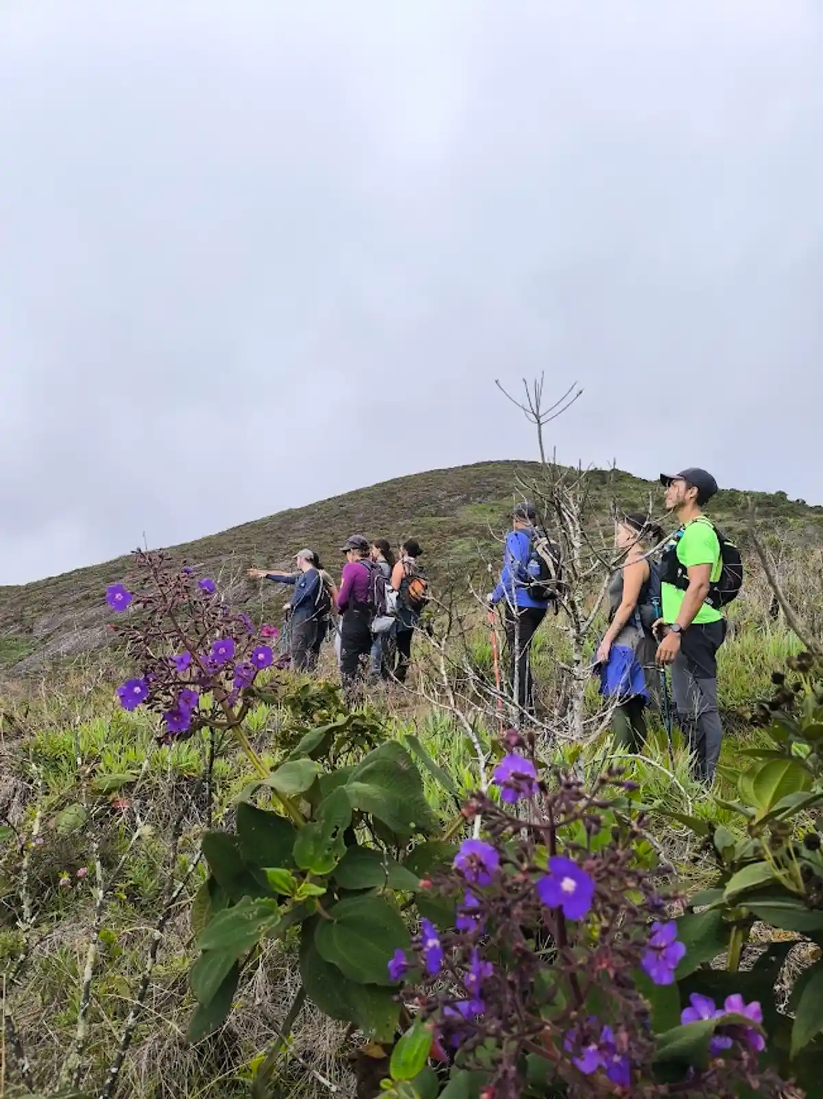
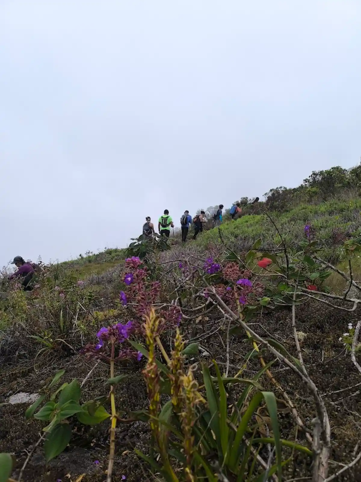
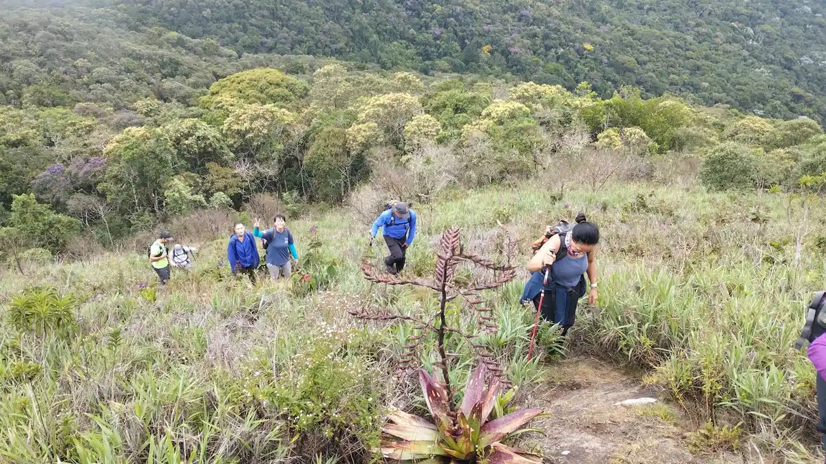
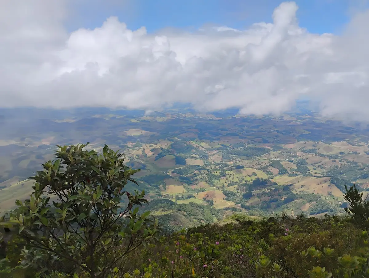
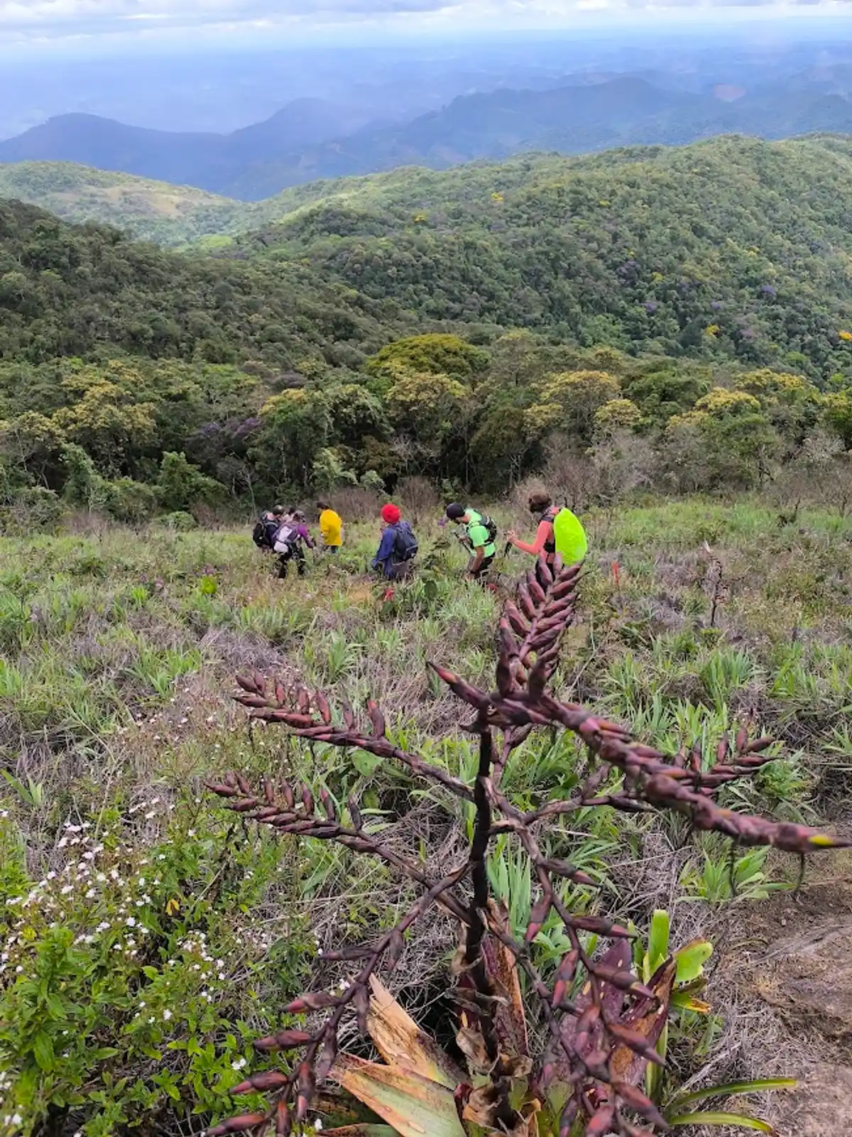
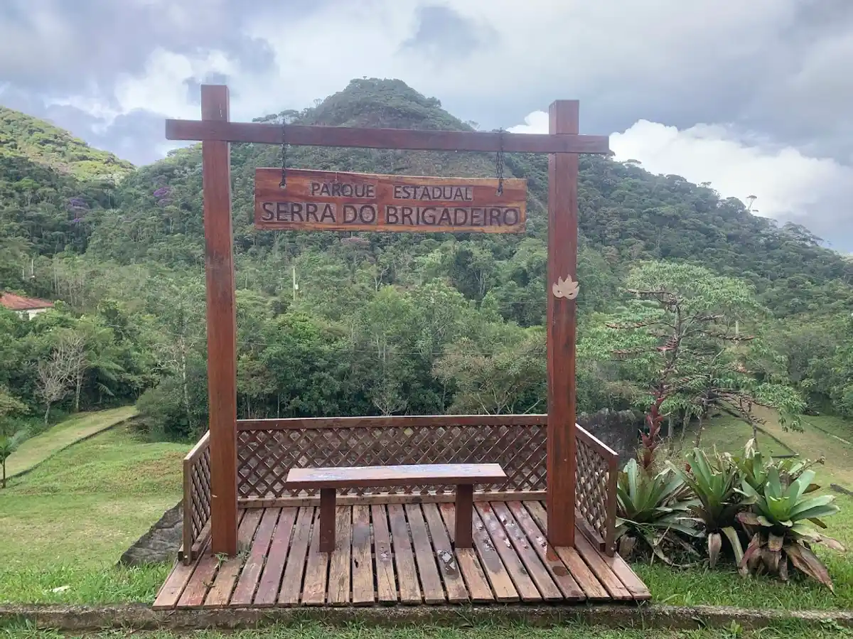
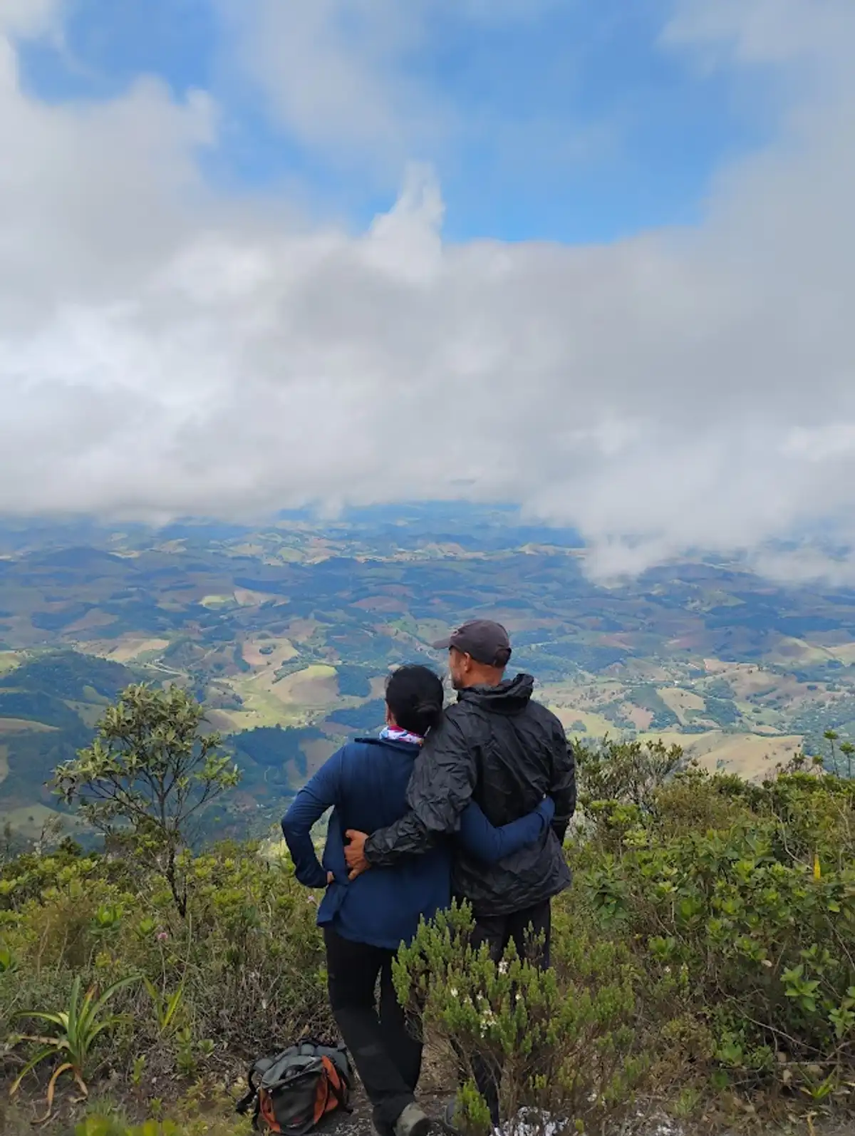
Pedra do Pato (“Duck Rock”), at 1,908 meters above sea level, is the second-highest point in the Serra do Brigadeiro, second only to Pico do Soares at 1,985 meters. The name comes from a whitish rock formation that resembles the shape of a duck and can be seen from the Entrance and the entire Fervedouro area. From its top, you can see Pico do Soares, Pico do Boné (1,870 m), and Pico da Bandeira, far off on the horizon. From there we saw the district of Bom Jesus do Madeira, the district of Monte Alverne, Sapé, rural communities in that area, and the city of Muriaé. Pedra do Pato is in the Parque Estadual da Serra do Brigadeiro.
Guidelines Extension: 4.3 Km
 Difficulty Moderate
 Orientation Moderate
 Signaling Level Complete
 Conservation Good
 Risk Exposure Low
 Sun Exposure Medium
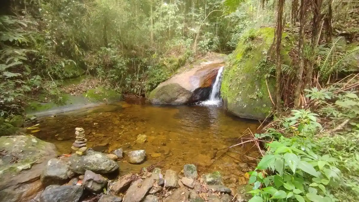
 Hydration Point Available
 Climbing No climbing required
 Minimum Altitude: 370m Maximum Altitude: 1908m
 Negative Unevenness: 859m
 Positive Unevenness: 758m
Tips
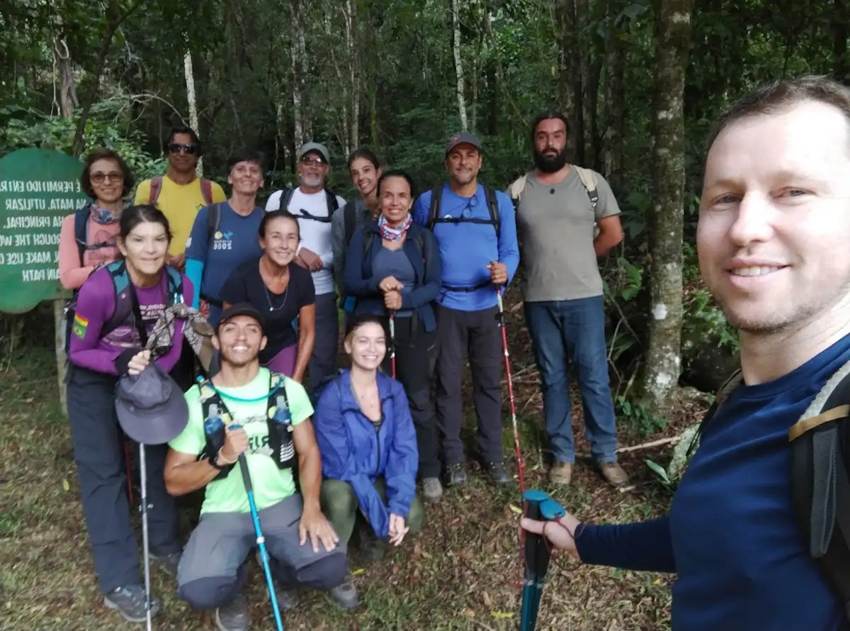
This trail is not self-guided. You must hire a local guide and have permission from the Parque Estadual da Serra do Brigadeiro to do the trail, obtained at the entrance of the protected area. The Visitor Center at this headquarters is worth a visit!
Map
Guidelines
Extension: 4.3 KmDifficulty: ModerateOrientation: ModerateSignaling Level: CompleteMinimum Altitude: 370m Maximum Altitude: 1908m Negative Unevenness: 859m Positive Unevenness: 758m