Trilha de Cicloturismo - Trilha Rota Paraibuna - Parque Estadual
Description
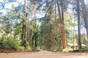
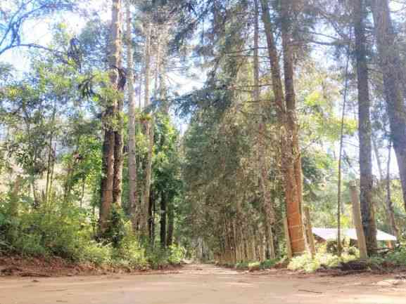
The start of this route is at the "Portal da Estrada do Paraibuna", where visitors will receive information about the itinerary, and continues until reaching the Visitor Center of the Cunha Nucleus, where there is an option to continue along the Arapongas trail. Visitors begin the route by traveling along the dirt road within the Buffer Zone of the park, where the AMPRASP (Association of Rural Producer Residents of the Neighborhoods: Sítio, Paraibuna, Rodeio, and Rio Abaixo) is located. During the journey, visitors enjoy the bucolic landscapes of the region, regenerating Atlantic Forest, and Mixed Forest of Araucarias.
Guidelines Extension: 52.22 Km
 Difficulty Moderate
 Orientation Easy
 Signaling Level Complete
 Conservation Excellent
 Risk Exposure Medium
 Sun Exposure High
 Hydration Point Unavailable
 Climbing No climbing required
 Minimum Altitude: 1007m Maximum Altitude: 1231m
 Negative Unevenness: 640m
 Positive Unevenness: 471m
Tips
Not provided in this language
Map
Guidelines
Extension: 52.22 KmDifficulty: ModerateOrientation: EasySignaling Level: CompleteMinimum Altitude: 1007m Maximum Altitude: 1231m Negative Unevenness: 640m Positive Unevenness: 471m 