Trilha da Jaguatirica
Description
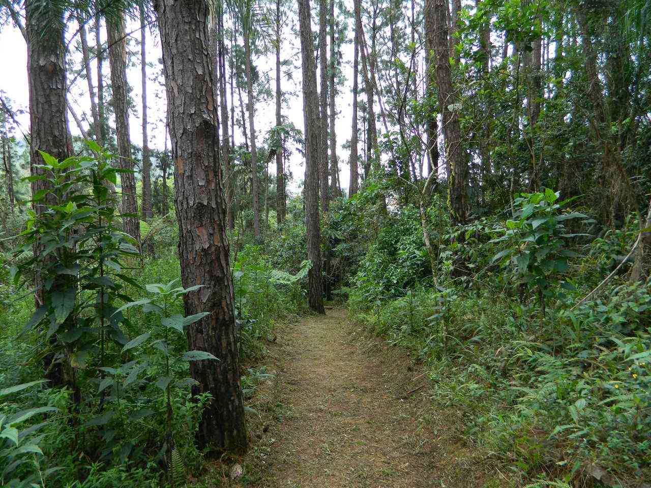
One-way trail with a steep path at the beginning, where visitors can observe the contrast between the exotic vegetation introduced several years ago, such as pines and bamboo, and the lushness of the native forest.
Guidelines Extension: 0.83 Km
 Difficulty Easy
 Orientation Easy
 Signaling Level Complete
 Conservation Excellent
 Risk Exposure Low
 Sun Exposure Medium
 Hydration Point Unavailable
 Climbing No climbing required
 Minimum Altitude: 769m Maximum Altitude: 912m
 Negative Unevenness: 0m
 Positive Unevenness: 0m
Tips
Not provided in this language
Map
Guidelines
Extension: 0.83 KmDifficulty: EasyOrientation: EasySignaling Level: CompleteMinimum Altitude: 769m Maximum Altitude: 912m Negative Unevenness: 0m Positive Unevenness: 0m 