Ciclotrilha da Represa
Description
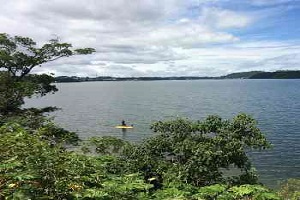
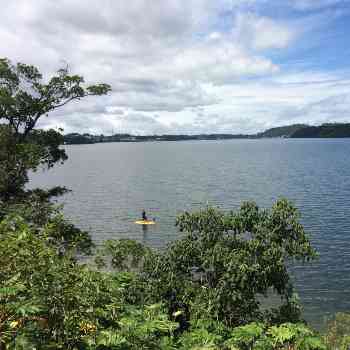
The diverse landscapes formed by the "fringes" of the reservoir hold unusual surprises for this route, and encounters with native wildlife are common, particularly mixed flocks of aquatic and semi-aquatic birds that inhabit or frequent the area, as well as various species of mammals that seek the location for hydration.
Guidelines Extension: 8.36 Km
 Difficulty Easy
 Orientation Easy
 Signaling Level Partial
 Conservation Good
 Risk Exposure Low
 Sun Exposure Low
 Hydration Point Unavailable
 Climbing No climbing required
 Minimum Altitude: 757m Maximum Altitude: 804m
 Negative Unevenness: 0m
 Positive Unevenness: 0m
Tips
Not provided in this language
Map
Guidelines
Extension: 8.36 KmDifficulty: EasyOrientation: EasySignaling Level: PartialMinimum Altitude: 757m Maximum Altitude: 804m Negative Unevenness: 0m Positive Unevenness: 0m 