Camutás x Urumajó (Trecho 6 | Trilha Amazônia Atlântica)


Description
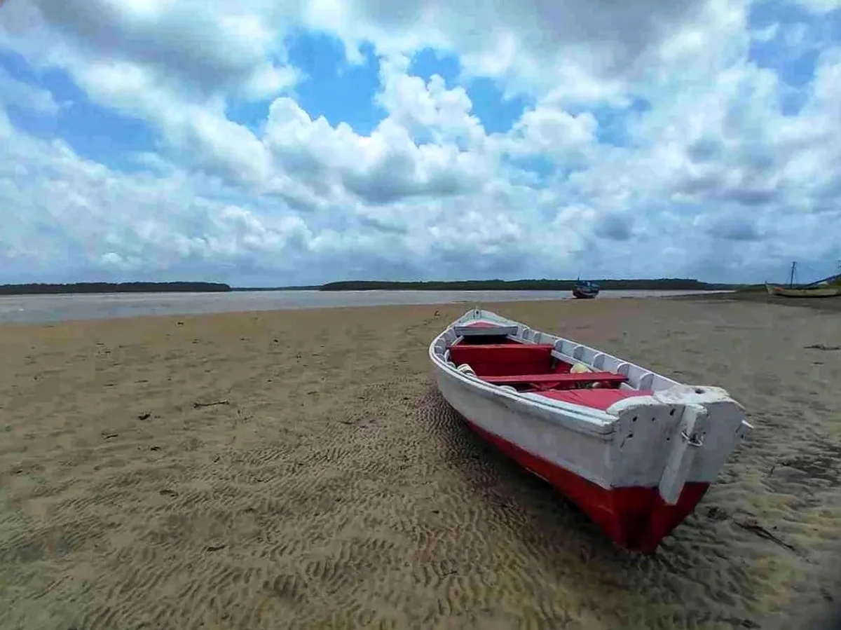
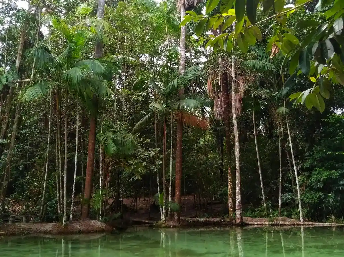
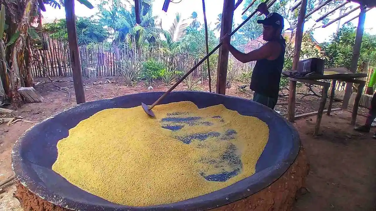
This section of the Amazon Atlantic Trail covers the route from the municipality of Bragança to the municipality of Augusto Corrêa, passing through ancient paths covered with dense vegetation and dirt roads that connect various local villages. The oldest of these, Vila Que Era, is known for its traditional pottery, while Treme and Caratateua are some of the ports that receive the most crabs in the region. Throughout the section, you will often skirt important mangroves, which form the largest continuous preserved stretch of this ecosystem on the planet. These mangroves extend from the state of Maranhão to the state of Amapá. The section, rich in biodiversity and culture, includes streams and rivers; a diverse birdlife; conservation units - the Caeté-Taperaçu Extractive Marine Reserve and the Araí-Peroba Extractive Marine Reserve; the Quilombola Territory América, with its traditional quilombola coffee; Ajuruteua Beach; the historic town of Bragança; and regional cuisine, a product of the extraction of turu and crab and artisanal fishing. In Nova Olinda, in the municipality of Augusto Corrêa, you have the opportunity to spend the night in the mangrove and savor the famous "avoado de ostra." In this dish, the shellfish, freshly collected and very fresh, are roasted over coals, providing a unique gastronomic tasting experience. Additionally, at Perimirim Beach, located 10 km from the Trail, you can experience an unforgettable moment: observing the interaction between dolphins and fishermen.
Guidelines Extension: 81.1 Km
 Difficulty Moderate
 Orientation Moderate
 Signaling Level NonExistent
 Conservation Good
 Risk Exposure Medium
 Sun Exposure High
 Hydration Point Available
 Climbing No climbing required
 Minimum Altitude: -37.29m Maximum Altitude: 19.71m
 Negative Unevenness: 827m
 Positive Unevenness: 841m
Tips
Not provided in this language
Map
Guidelines
Extension: 81.1 KmDifficulty: ModerateOrientation: ModerateSignaling Level: NonExistentMinimum Altitude: -37.29m Maximum Altitude: 19.71m Negative Unevenness: 827m Positive Unevenness: 841m