Parque Nacional da Chapada Diamantina
Description
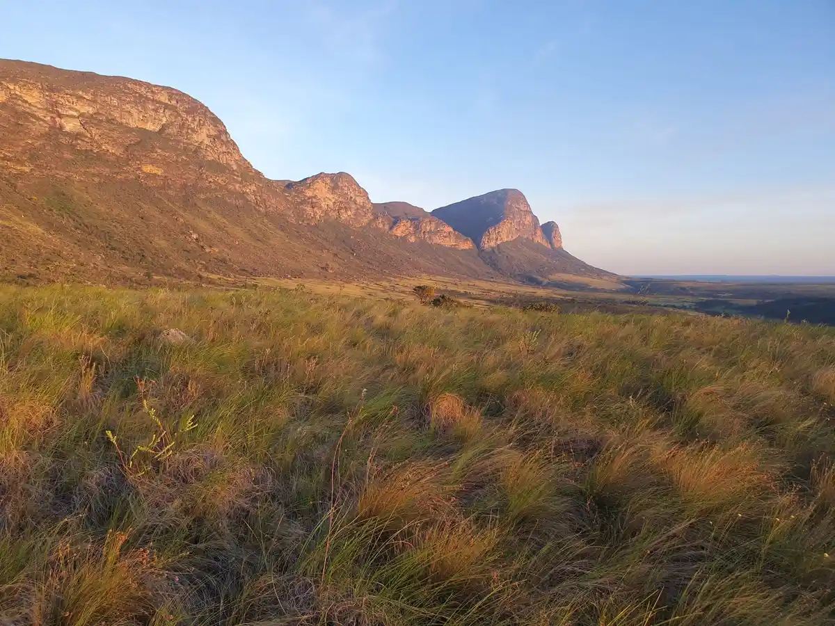
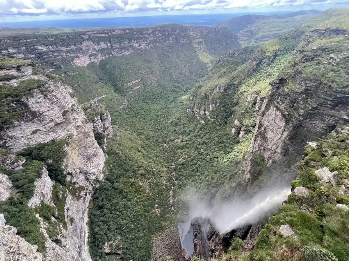
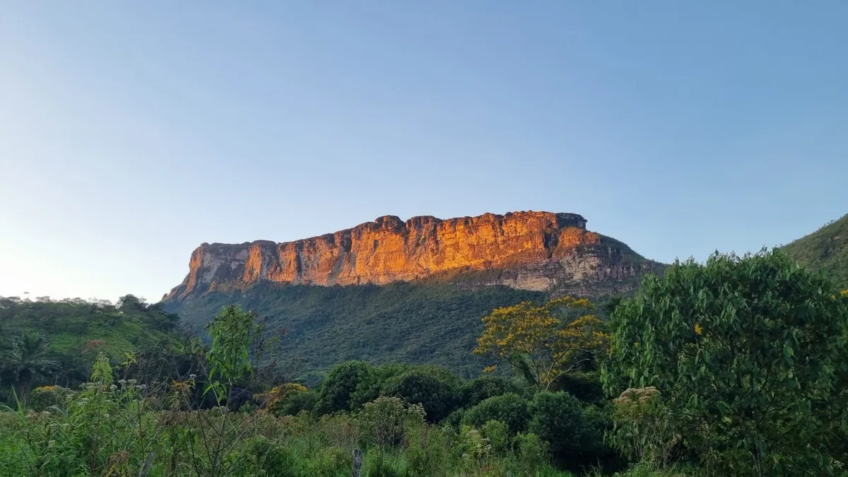
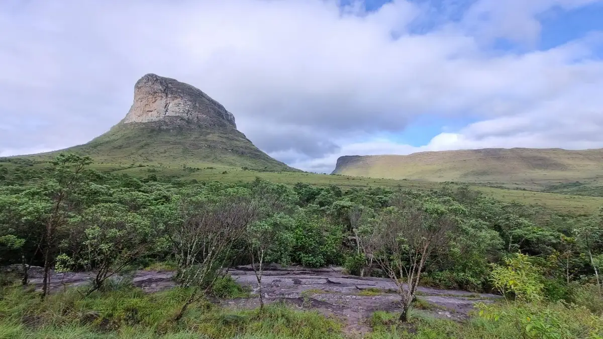
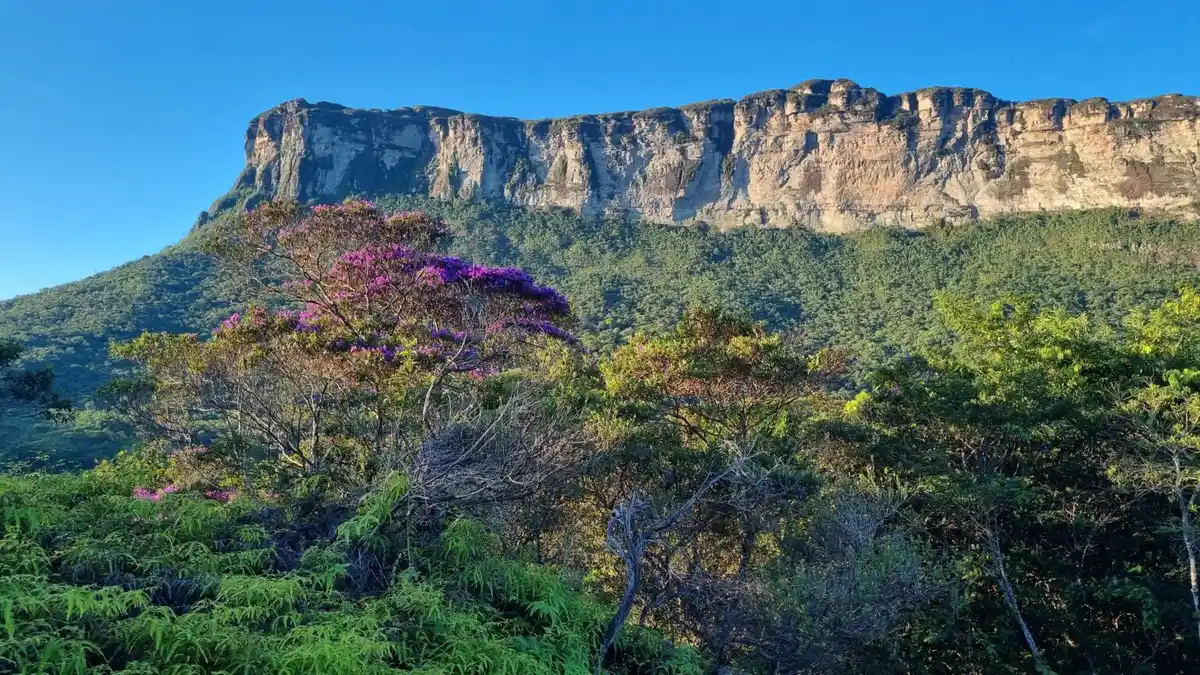
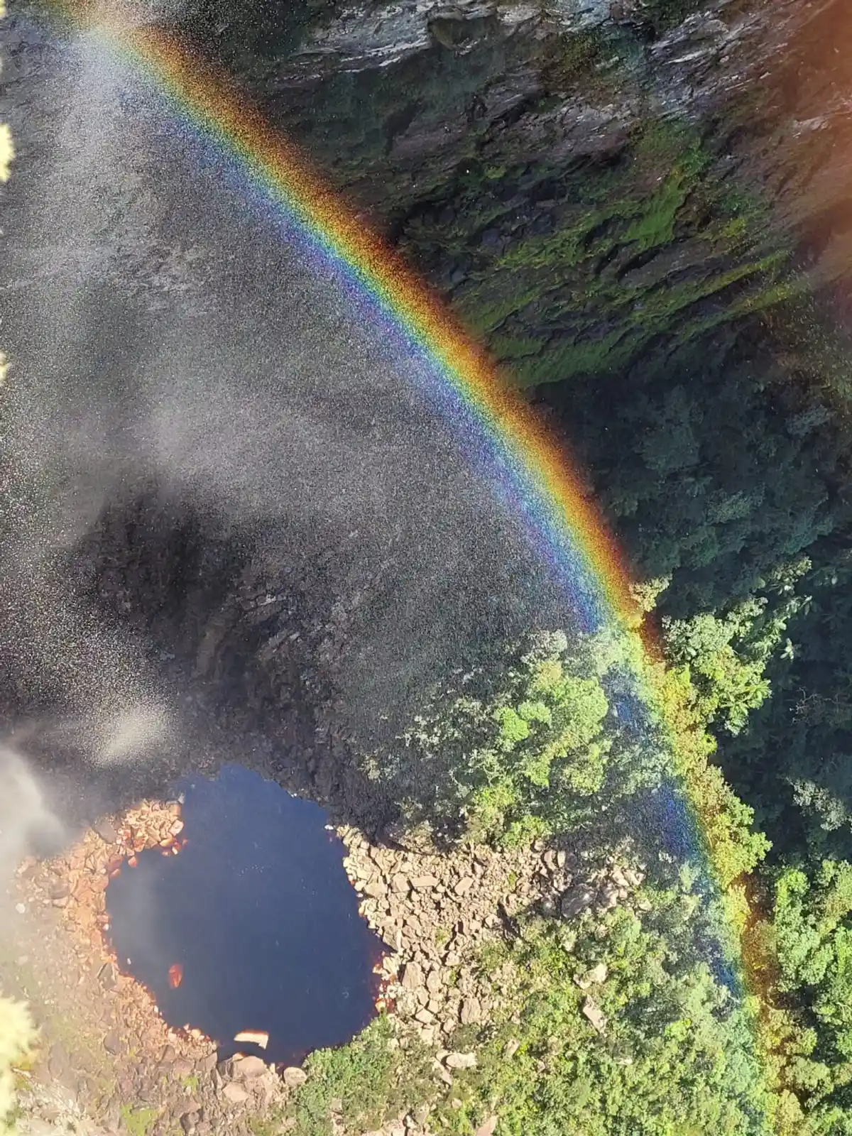
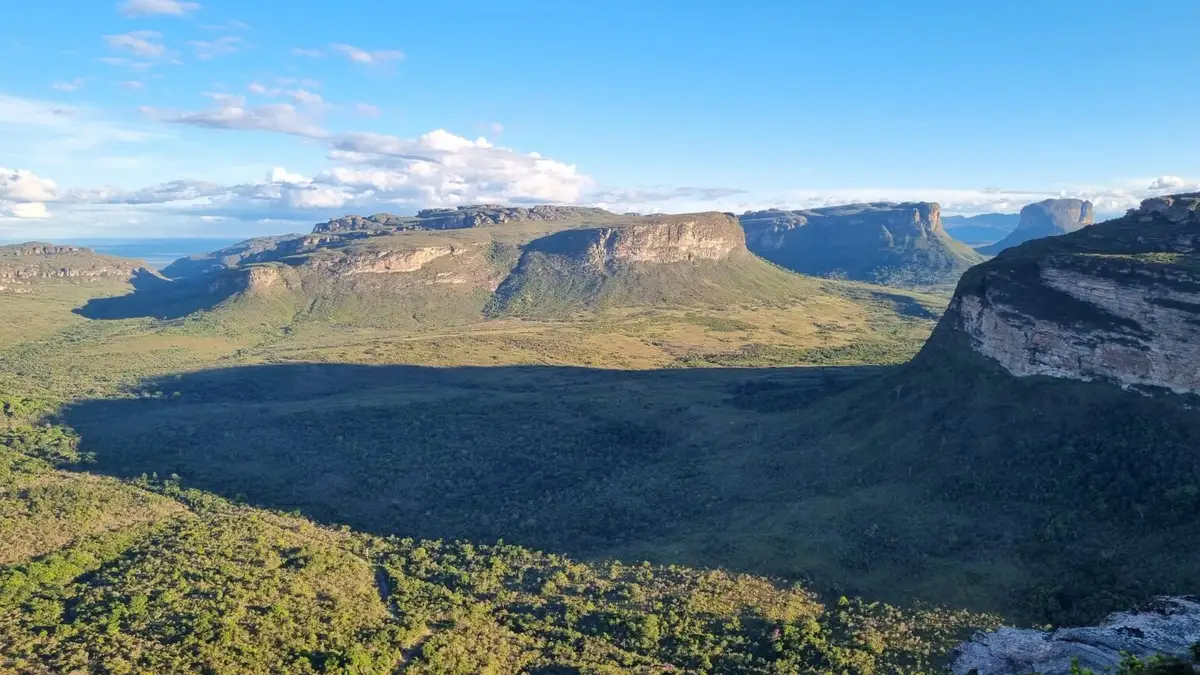
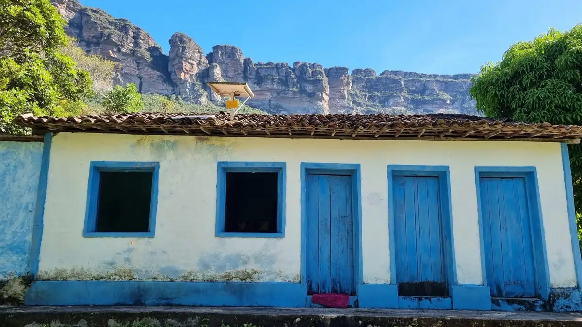
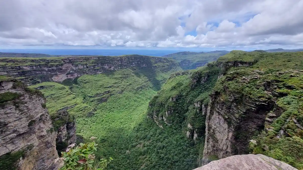
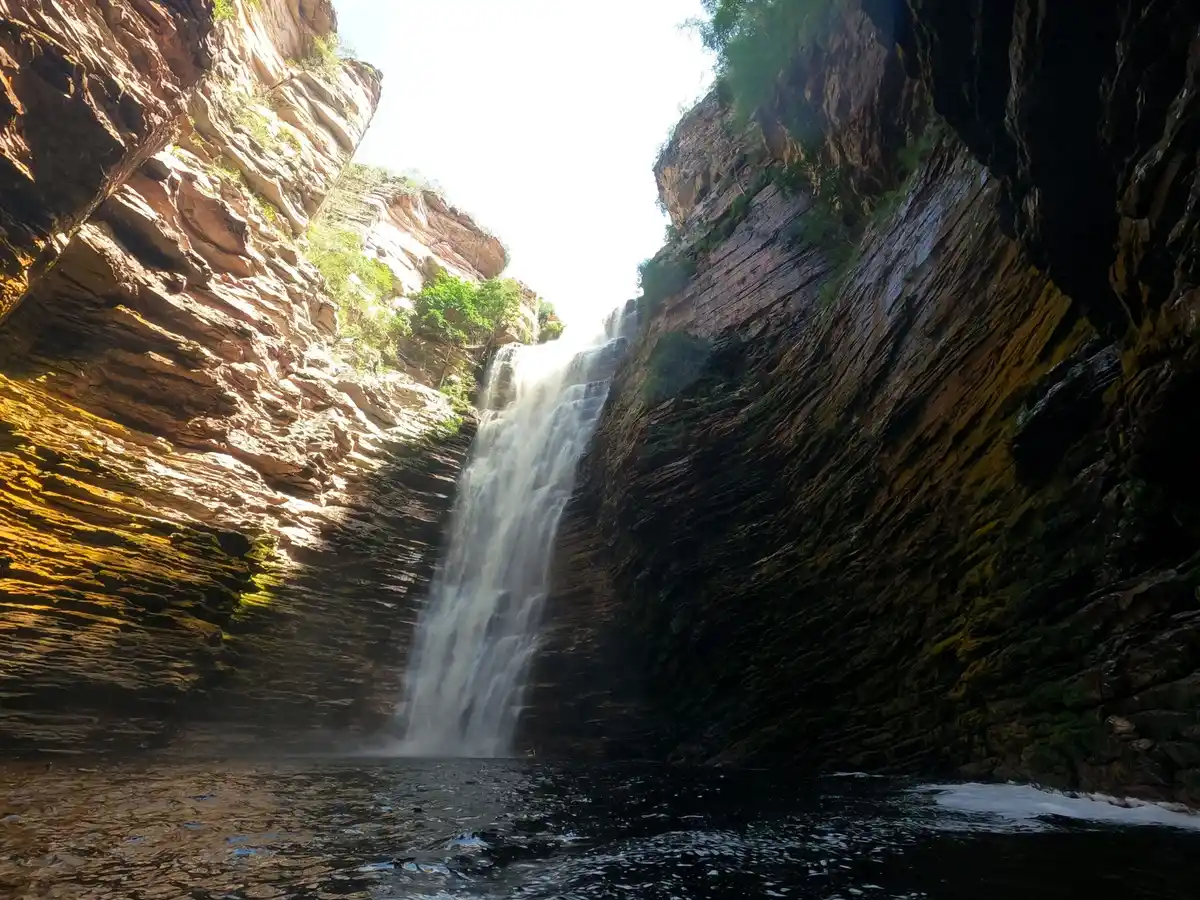
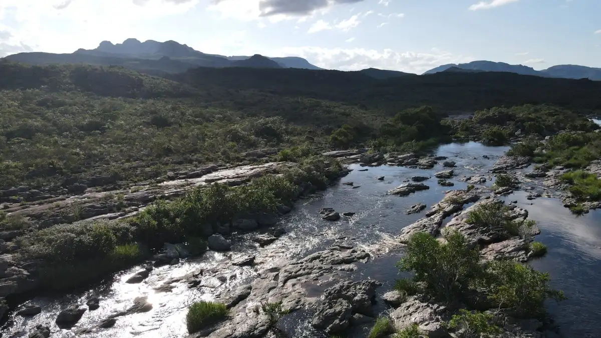
Parque Nacional da Chapada Diamantina covers 152,000 hectares and protects part of the Serra do Sincorá, a mountain range that extends from Minas Gerais to Bahia. Its territory has great ecological and environmental diversity, encompassing three Brazilian biomes: Atlantic Forest, Cerrado and Caatinga. The park is part of the Caatinga and Atlantic Forest Biosphere Reserves (RB). The national park has almost 300 km of trails that run through campos rupestres (rocky highland grasslands), Cerrado and Atlantic Forest; the park has 33 waterfalls, including the Cachoeira da Fumaça, 2 caves, 10 climbing sites, 16 historic sites and the Marimbus, a wetland known as the Pantanal da Chapada Diamantina. The national park can be accessed from the municipalities of Andaraí, Ibicoara, Itaetê, Lençóis, Mucugê and Palmeiras, via 38 entry trails. The park's administrative headquarters is in the town of Palmeiras. There are no institutional visitor facilities inside the national park, such as guard posts or a visitor center, so there is no admission fee. Image credits: entreparquesbr
Additional Information
- Total Area - 1521.41km²