Parque Estadual Serra do Mar - Núcleo Caraguatatuba
Caraguatatuba, São Paulo
Description
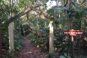
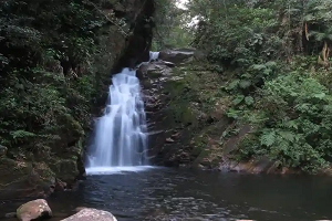
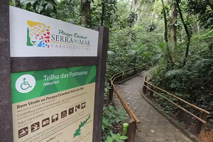
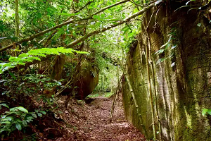
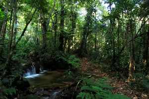
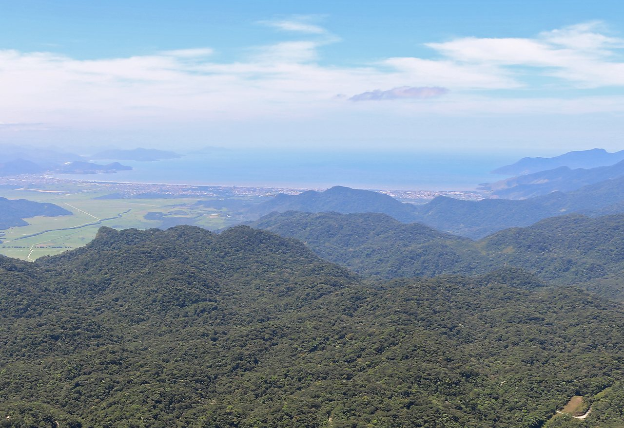
Located within Parque Estadual Serra do Mar, the Núcleo Caraguatatuba was created in 1977 and covers an area of 35,947 hectares, just over 10% of the park's entire territory. It boasts lush landscapes that make up the Atlantic Forest remnants, such as the water sources of the Paraibuna reservoir, the slope forests, rivers, waterfalls, and the stunning scenery seen from the Rodovia dos Tamoios (SP-099) and the Estrada do Rio Pardo. Its name, shared with the coastal city, refers to the caraguatá plant (Bromelia pinguin), which means "spiny plant" in the Tupi language. The term "tuba," meaning "many," completes the word and its meaning: a region where caraguatás are abundant.
Additional Information
- Total Area - 359.47km²
Biomes Found
 Atlantic Forest
Offered Activities
 Hiking
 Cycling
Attractions offered
 Fauna
 Flora
 Lake
 Viewpoints
 River