Área de Proteção Ambiental de Upaon-Açu-Miritiba-Alto Preguiças
Description
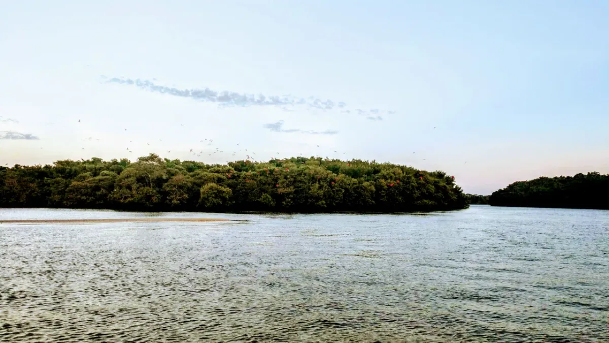
The Upaon-Açu/Miritiba/Alto Preguiças Environmental Protection Area is a State Conservation Unit for Sustainable Use located in the north of Maranhão, encompassing areas of the Maranhense Golf and the Eastern Coast, from the region of the Island of Upaon-Açu towards the surroundings of the Lençóis Maranhenses. Created by State Decree No. 12,428, on June 5, 1992, it covers approximately 1.53 million hectares and is managed by the Maranhão State Secretariat for the Environment and Natural Resources – SEMA/MA. The APA is situated in an important transition zone between the Cerrado and Amazon biomes and the Coastal-Marine System, bringing together a great diversity of landscapes and ecosystems. Among its natural environments are mangroves, restingas, dunes, lagoons, buriti palm groves, riparian forests, Cerrado areas, and transitional forest formations. These environments are also of great importance for the conservation of water, springs, and regional biodiversity. The diversity of habitats favors the occurrence of species of great importance for conservation, including the manatee (Trichechus manatus), sea turtles, resident and migratory birds, as well as fish, rays, and sharks associated with coastal and estuarine environments. Some of these areas serve as feeding, breeding, and development sites for aquatic fauna. In addition to its ecological relevance, the APA is home to communities that maintain a strong relationship with natural resources and presents great potential for ecotourism, community-based tourism, hiking, birdwatching, and wildlife observation, nautical activities, environmental interpretation, and environmental education. Visits should be conducted responsibly, respecting local communities, biodiversity, and applicable environmental regulations for the Conservation Unit.
Additional Information
- Total Area - 15688,72km²
