Rota das 10 Cachoeiras
Description
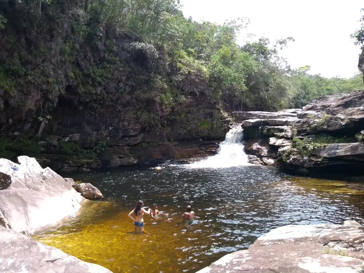
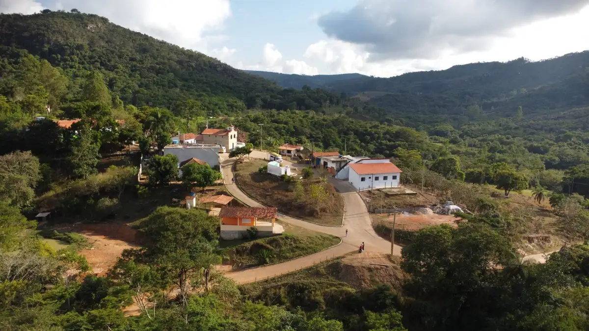
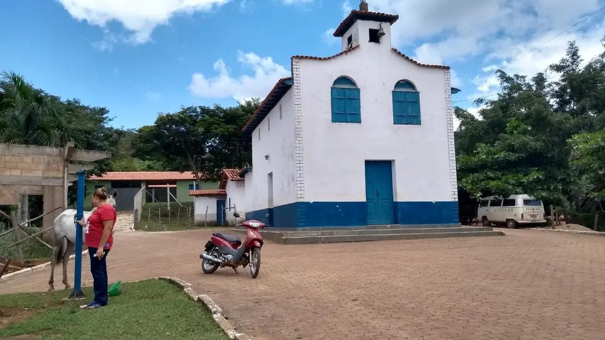
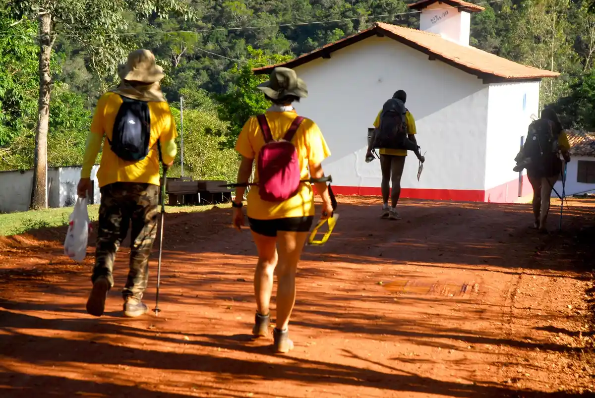
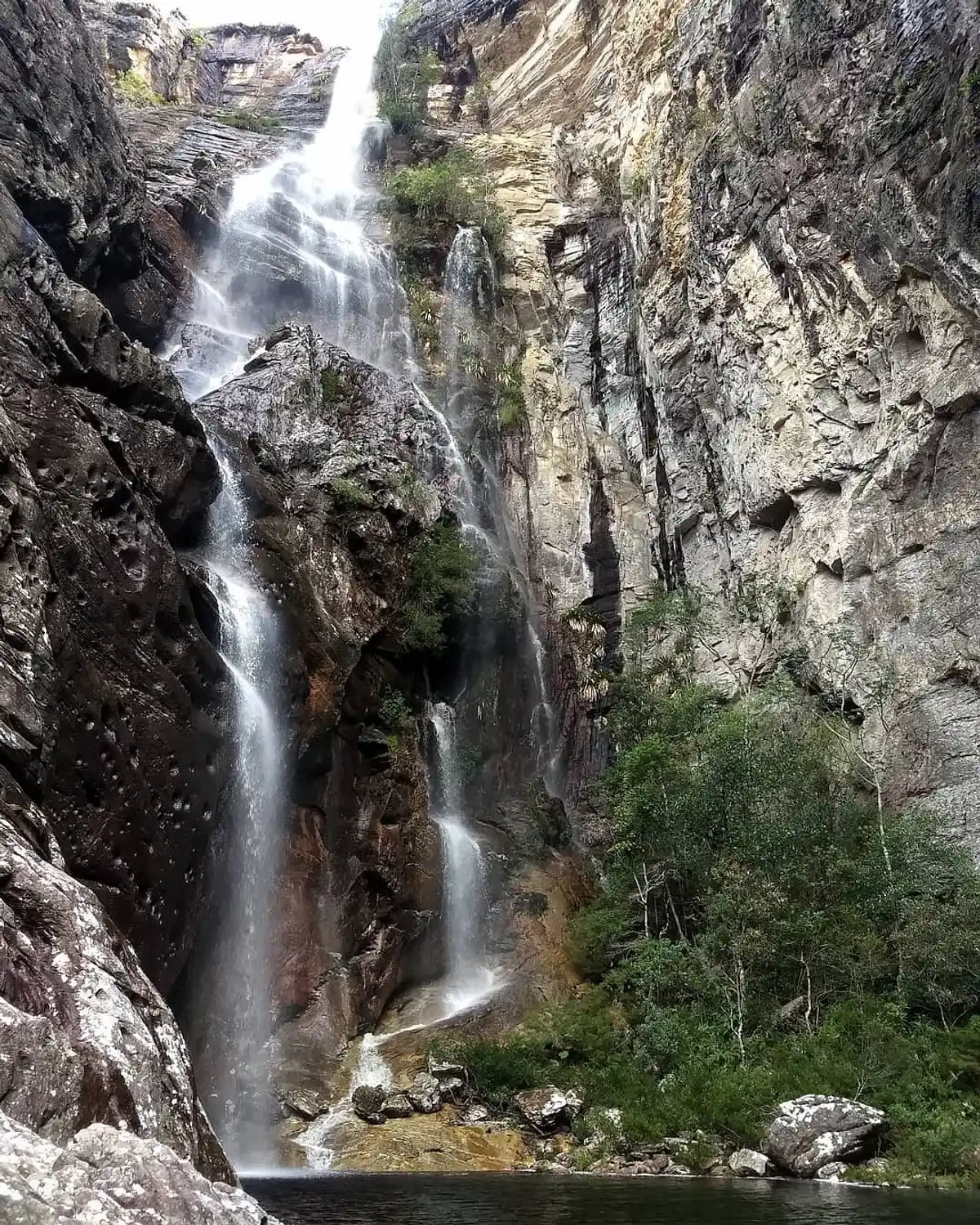
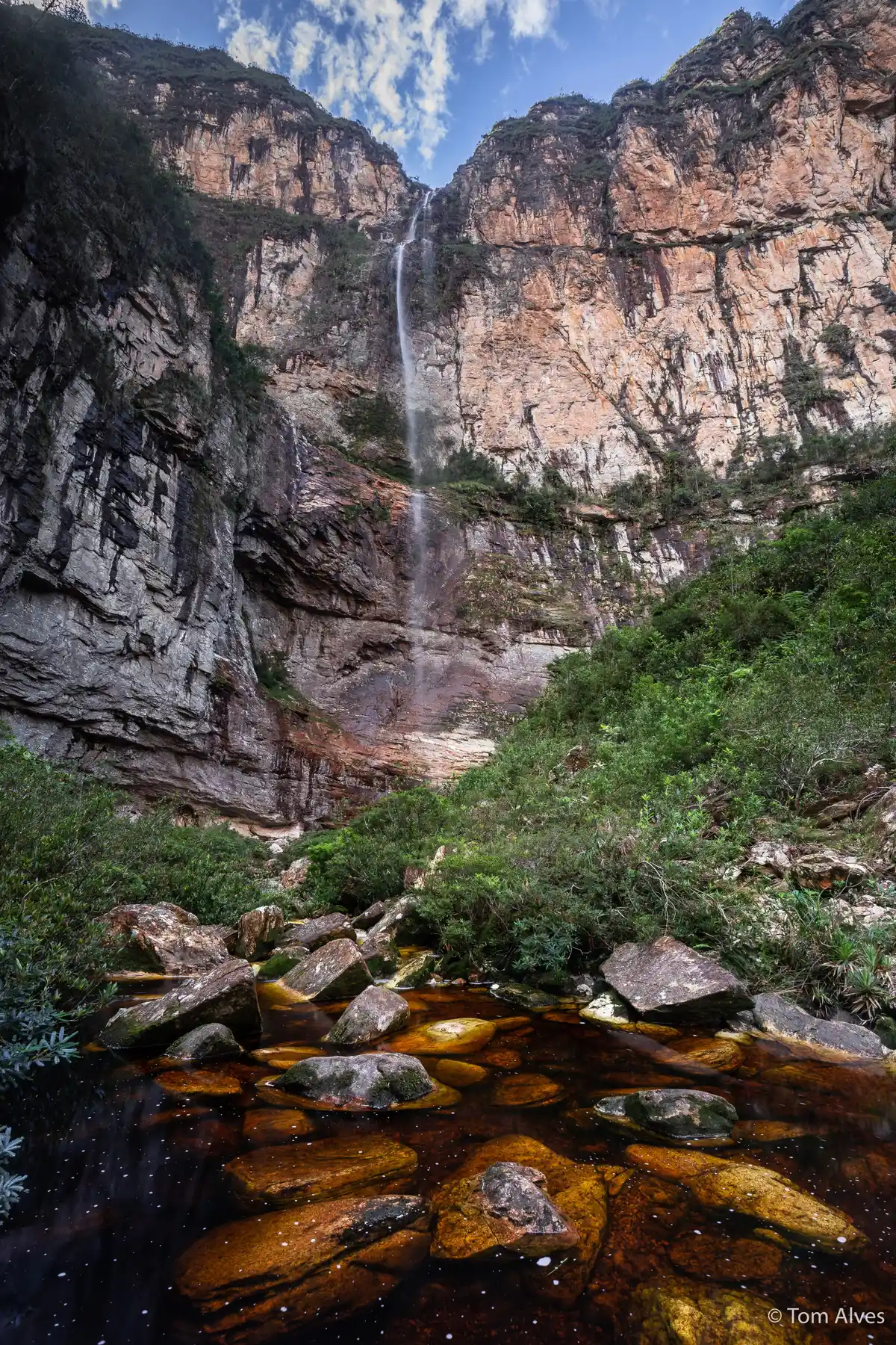
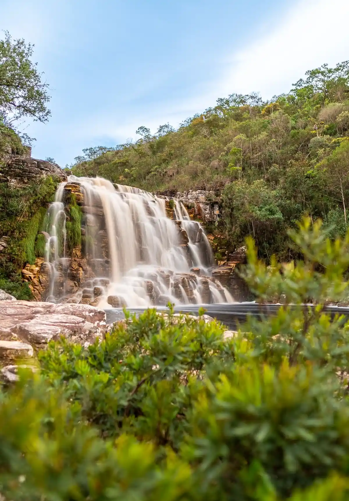
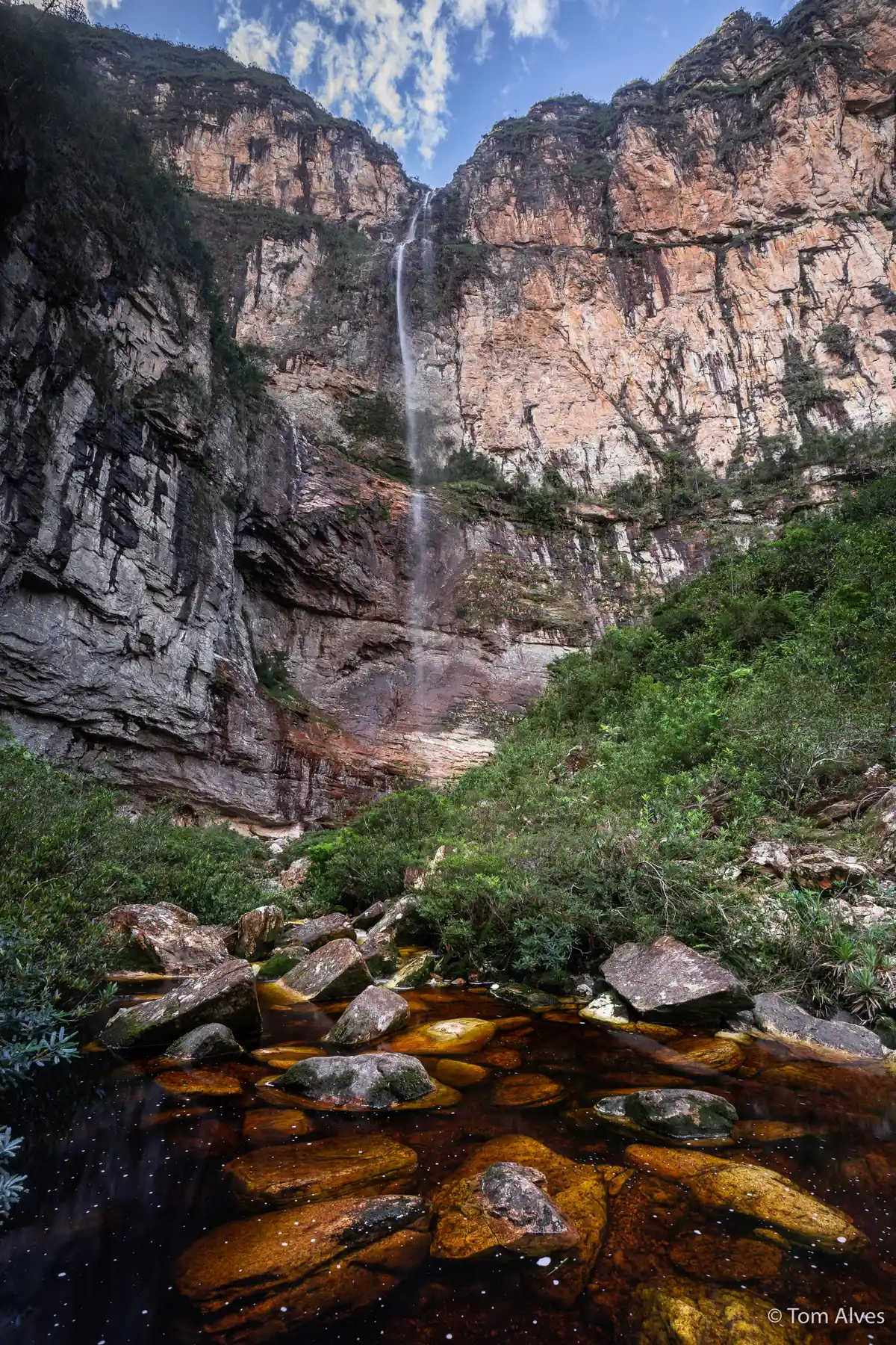
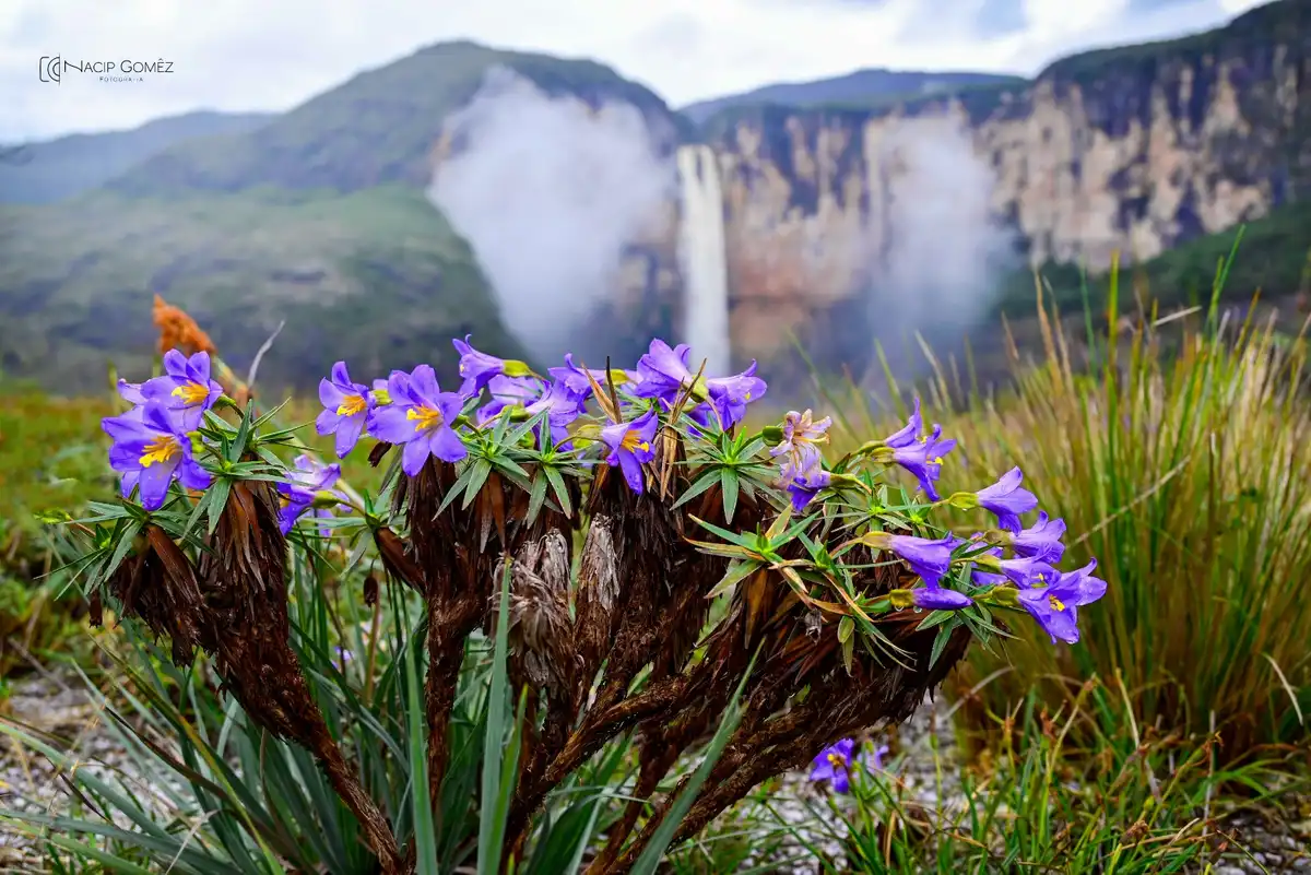
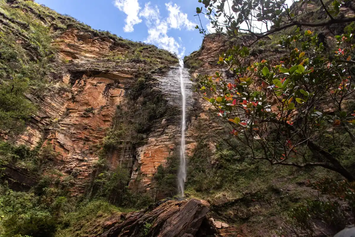
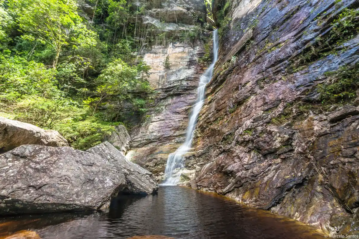
Walk, bike, and ride through the natural beauties of the eastern edge of the Meridional Espinhaço in Minas Gerais, experiencing the culture and history of rural and quilombola communities along the way, on a long-distance trail that takes you past dozens of incredible waterfalls. The Route of the 10 Waterfalls combines nature and regional community experiences in a truly unforgettable way. The trail crosses two protected natural areas, the Serra do Intendente State Park and the Tabuleiro Municipal Natural Park.
Guidelines Extension: 103 Km
 Difficulty Hard
 Orientation Moderate
 Signaling Level Complete
 Conservation Excellent
 Risk Exposure Low
 Sun Exposure Medium
 Hydration Point Available
 Climbing No climbing required
 Minimum Altitude: 486m Maximum Altitude: 1311m
 Negative Unevenness: 2901m
 Positive Unevenness: 3391m
Map
Guidelines
Extension: 103 KmDifficulty: HardOrientation: ModerateSignaling Level: CompleteMinimum Altitude: 486m Maximum Altitude: 1311m Negative Unevenness: 2901m Positive Unevenness: 3391m