Caminhos do Rio Negro
Description
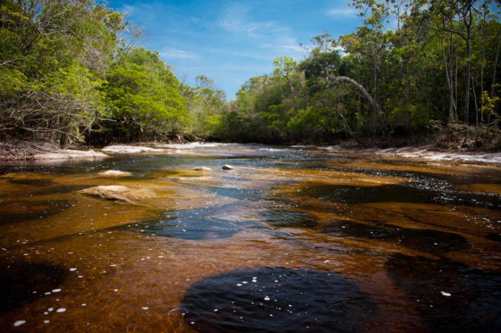
The Paths of the Black River is a long-distance trail, approximately 630 kilometers long, consisting of both dry land and aquatic trails that traverse conservation units of the Mosaico do Baixo Rio Negro - MBRN, in the municipalities of Manaus, Iranduba, Novo Airão, and Barcelos in Amazonas. In addition to the terrestrial and aquatic trails, there are also connecting aquatic trails that link the other trails, which are typically navigated by motorized vessels, although non-motorized vessels can also be used. Photo: Acervo Caminhos do Rio Negro
Guidelines Extension: 630 Km
 Difficulty Moderate
 Orientation Moderate
 Signaling Level Partial
 Conservation Good
 Risk Exposure Medium
 Sun Exposure Medium
 Hydration Point Unavailable
 Climbing No climbing required
 Minimum Altitude: 0m Maximum Altitude: 0m
 Negative Unevenness: 0m
 Positive Unevenness: 0m
Map
Guidelines
Extension: 630 KmDifficulty: ModerateOrientation: ModerateSignaling Level: PartialMinimum Altitude: 0m Maximum Altitude: 0m Negative Unevenness: 0m Positive Unevenness: 0m 