Caminhos do Planalto Central
Description
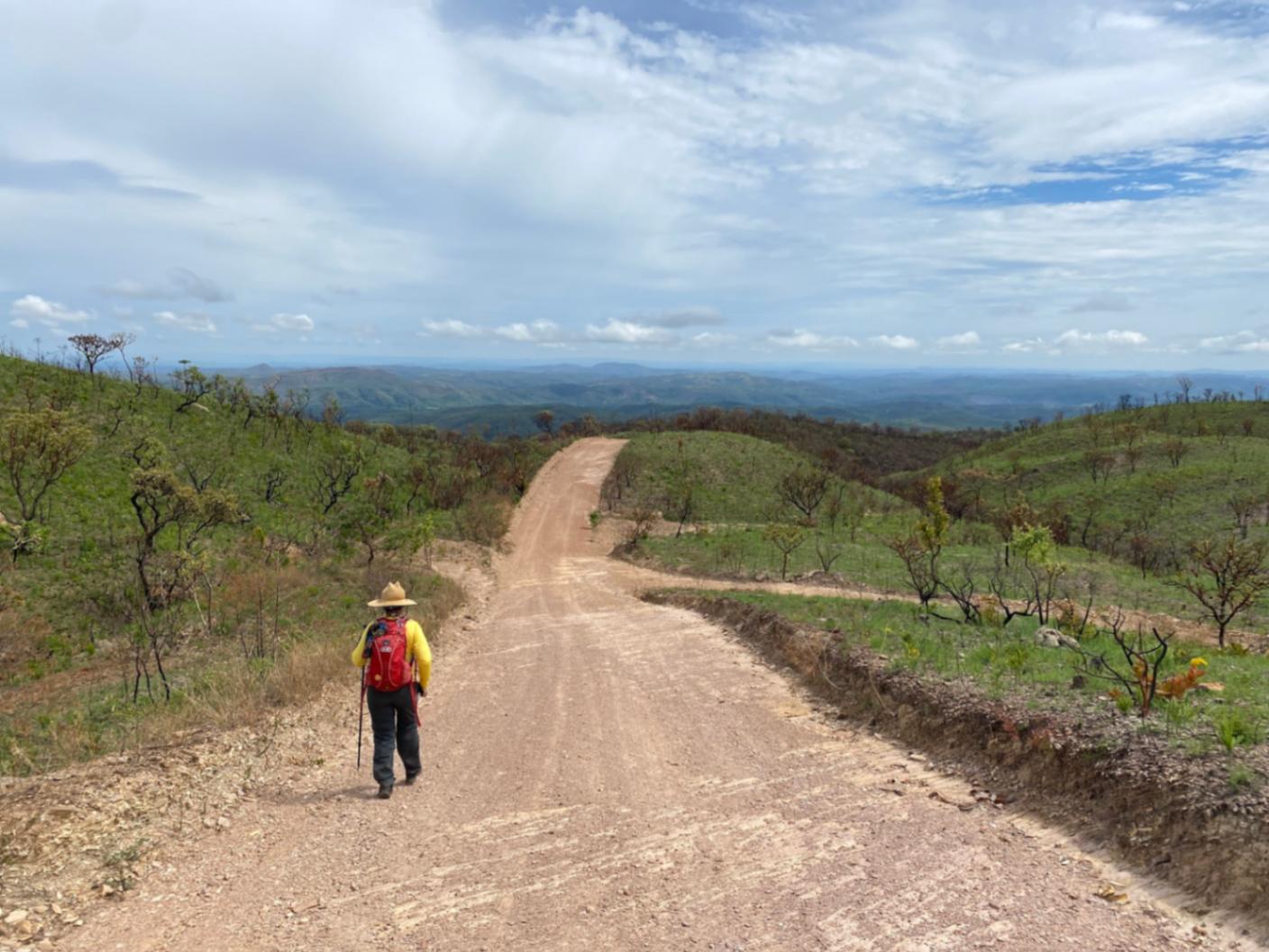
Photo: Collection of Paths of the Central Plateau The Paths of the Central Plateau are part of the Brazilian Trail Network and integrate the Goyazes Path (route from the City of Goiás to Chapada dos Veadeiros). The relief of the Central Plateau is predominantly flat with gentle undulations, and the Cerrado is its characteristic vegetation, featuring various different phytophysiognomies. The climate is characterized by a rainy season and a dry season. In hydrographic terms, the Federal District has springs from three Brazilian Basins, which greatly enhances biodiversity: Tocantins/Araguaia Basin (Maranhão River, a tributary of the Tocantins River), São Francisco River Basin (Preto River, a tributary of the Paracatu River), and Prata River Basin (São Bartolomeu and Descoberto rivers, tributaries of the Paraná River).
Guidelines Extension: 613 Km
 Difficulty Moderate
 Orientation Moderate
 Signaling Level Partial
 Conservation Good
 Risk Exposure Medium
 Sun Exposure High
 Hydration Point Available
 Climbing No climbing required
 Minimum Altitude: 749m Maximum Altitude: 1287m
 Negative Unevenness: 7884m
 Positive Unevenness: 7884m
Map
Guidelines
Extension: 613 KmDifficulty: ModerateOrientation: ModerateSignaling Level: PartialMinimum Altitude: 749m Maximum Altitude: 1287m Negative Unevenness: 7884m Positive Unevenness: 7884m 