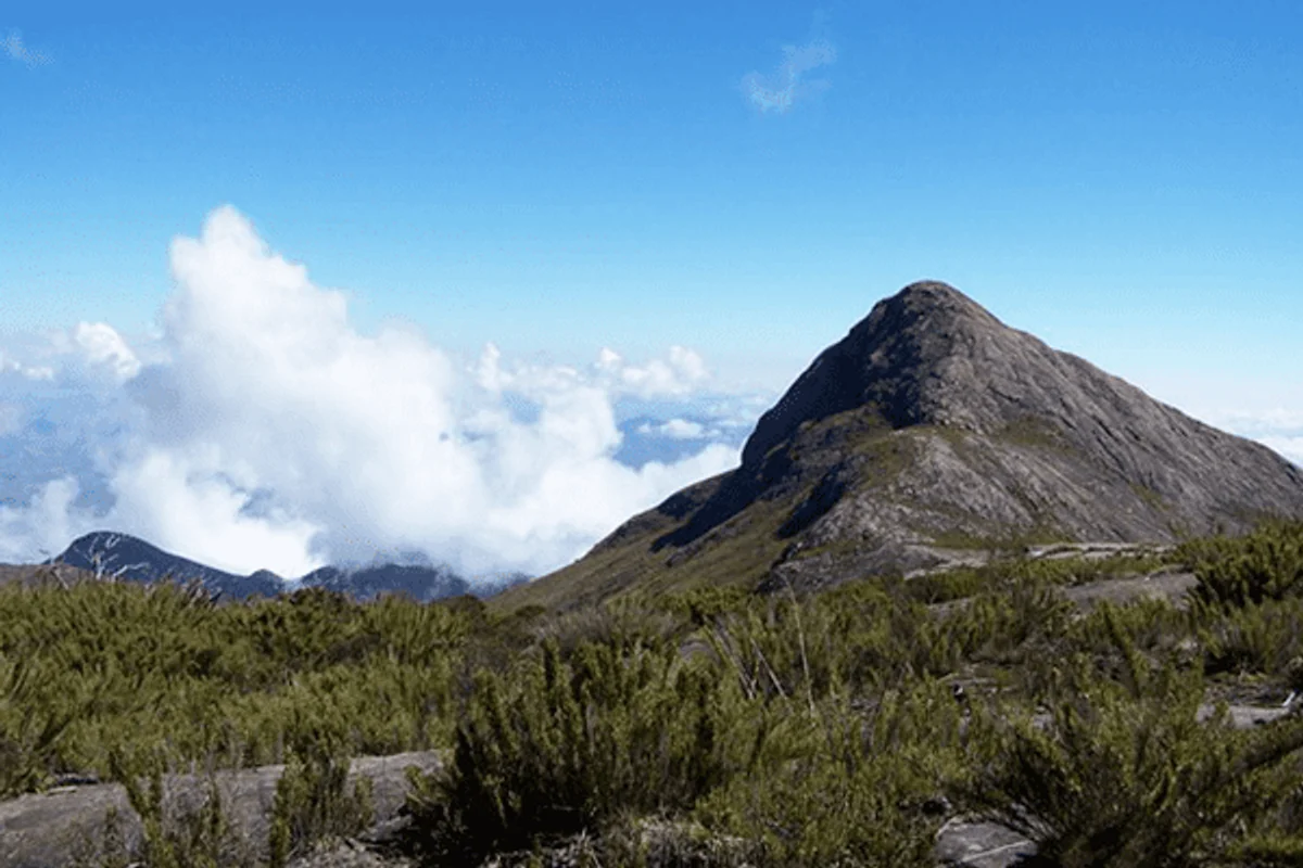
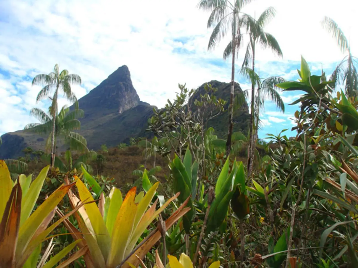
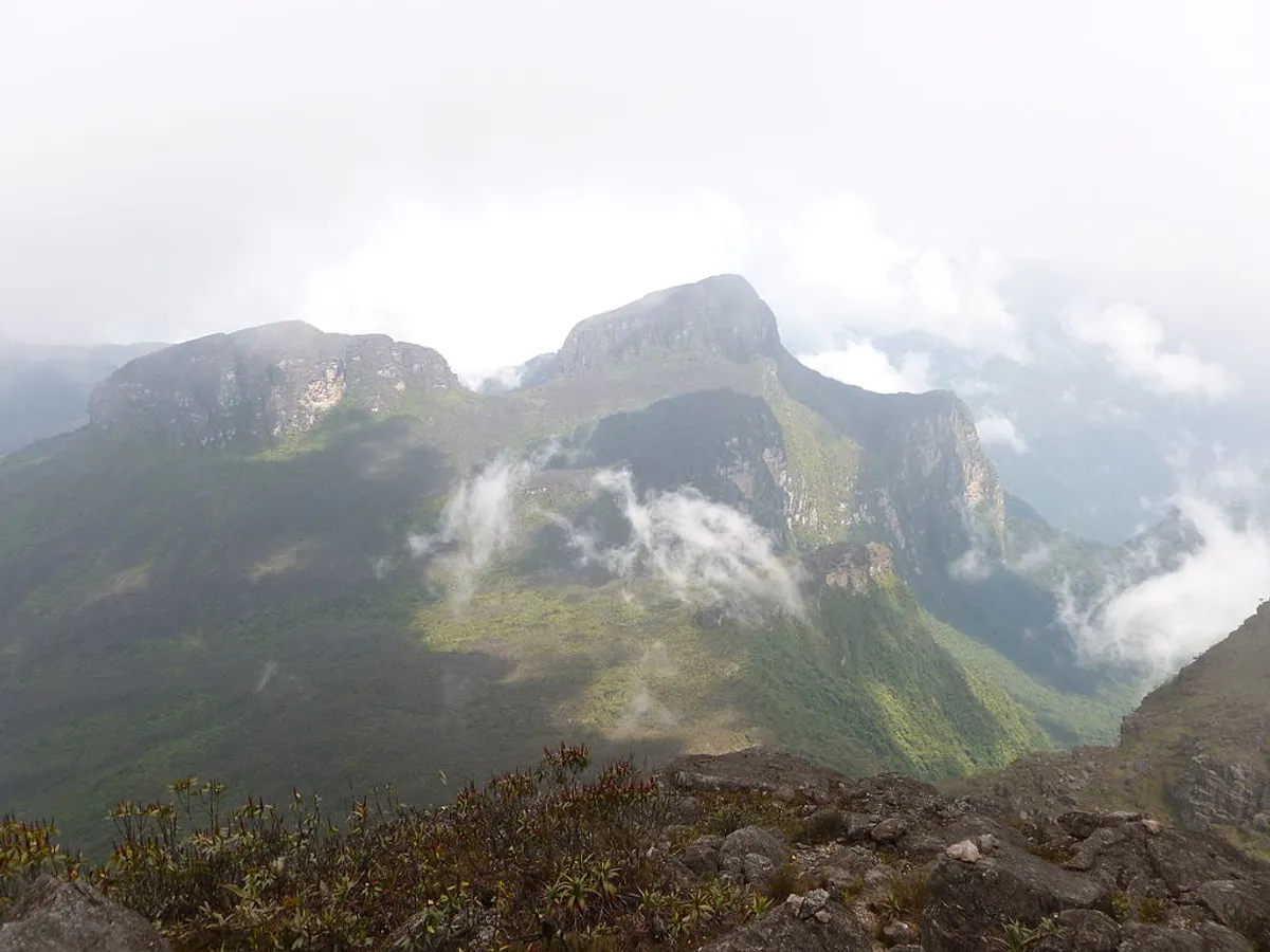
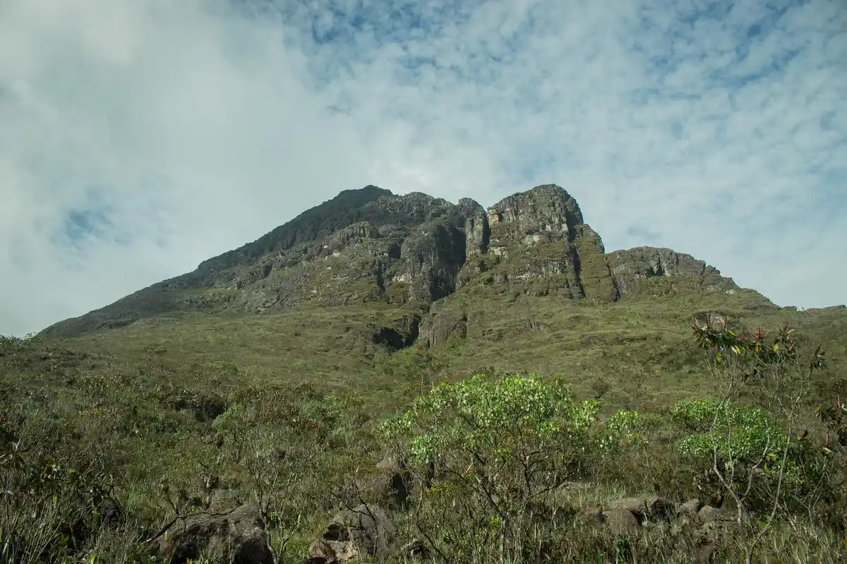
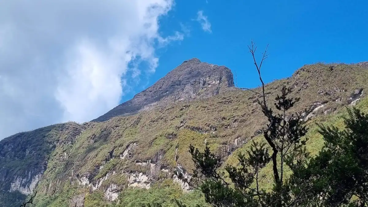
Pico 31 de Março, also called Pico Phelps in Venezuela, is the second-highest point in Brazil, at 2,974.18 meters above sea level, according to a measurement revised by satellite/GPS by the Instituto Brasileiro de Geografia e Estatística in 2016. It is located in the Serra do Imeri, on the border between Venezuela and the state of Amazonas. On the Brazilian side, it belongs to the municipality of Santa Isabel do Rio Negro, but the nearest town is São Gabriel da Cachoeira, about 140 km away in a straight line.
It lies just 687 meters from Pico da Neblina, the highest point in Brazilian territory, which is only 21 meters higher; Pico 31 de Março is part of its massif and can be considered a secondary summit of it. The two peaks are connected by a short ridge. Unlike the pointed, pyramidal shape of its taller neighbor, Pico 31 de Março has a gentler, more rounded shape and can be hard to tell apart from Pico da Neblina in photographs, depending on the angle and distance.
Pico 31 de Março is the highest point in Venezuela outside the Andes, but despite this, Venezuelans rarely mention it, as they consider it part of Pico da Neblina. Pico 31 de Março and Pico da Neblina are located in Parque Nacional do Pico da Neblina and also within the demarcated lands of the Yanomami. Pico 31 de Março is within the following protected area